もらった絵文字313
写真32枚
06:1814.3 km1159 m
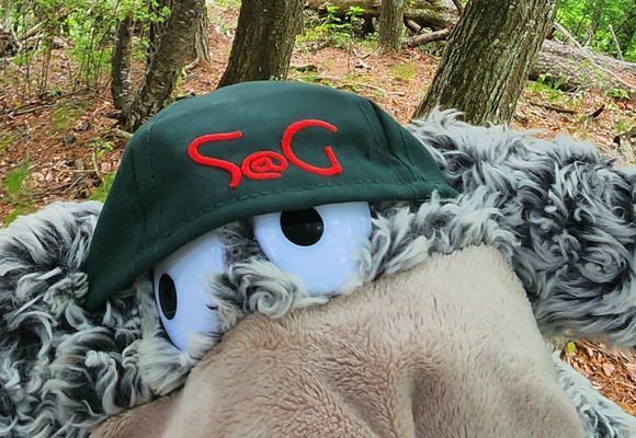
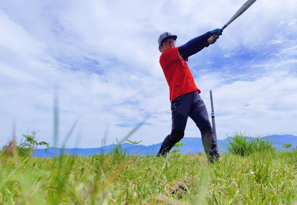
山頂FULL SWING
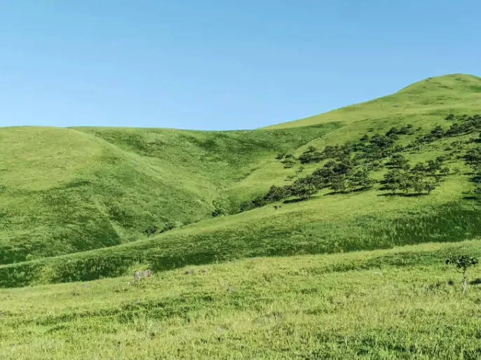
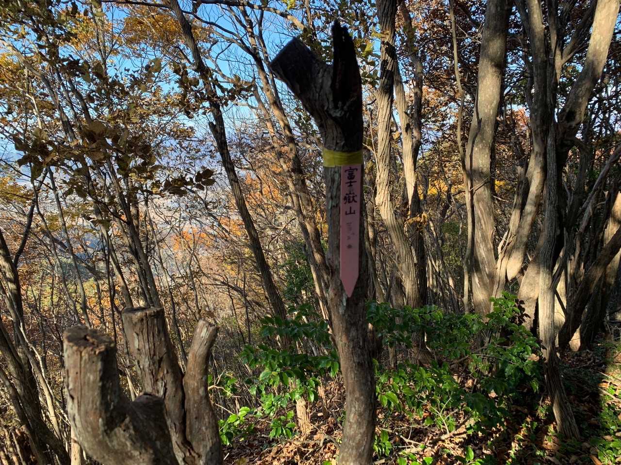
独鈷山・弘法山(長野)
2026.05.31 (日)日帰り
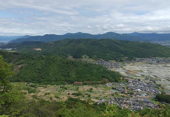
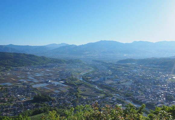
ヤマッパーぱく太郎さんが山頂で金属バットを構えてる姿を見て、早速自分も行ってきました⚾️山頂でフルスイングが今日の山行目的です。 金属バットが置いてある依田城山は今日の縦走路の最初のピークなので、早々に目的を達成。そこから先も夏山シーズンへの鍛錬💪とモチベーションを維持して歩いてきました。それにしても今日も暑くて後半はヘロヘロ。終盤は登り斜面に来ると足が攣りそうで「マジで足攣る5秒前状態」で歩きました💦ツリソウデツラナカッタケド。暑さへの耐性がダメダメです。 🎶ちょっと前から〜左腿〜攣りそうで〜攣ら〜ないの〜♪