もらった絵文字142
写真17枚
01:283.2 km273 m
鳥羽山 ~ほかGP×2
中山道(芦田宿・長久保宿・和田宿)(長野)
2026.02.17 (火)日帰り
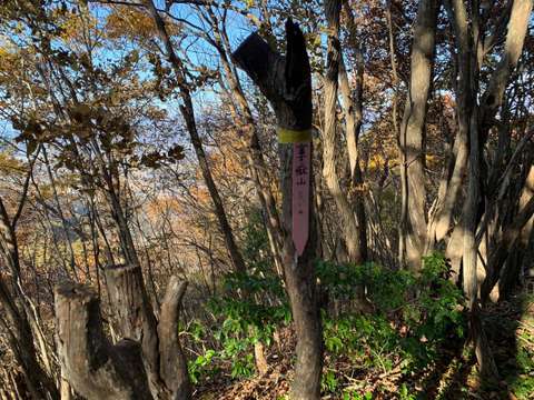
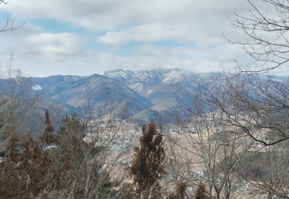
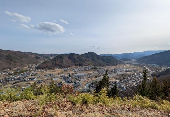
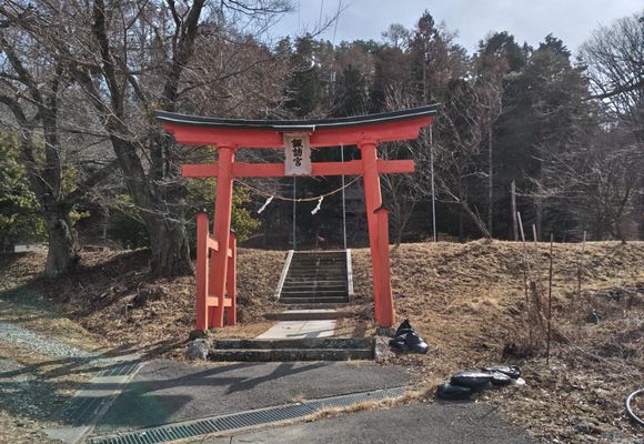
倒木アスレチック…鳥羽山への道のりにはおびただしい数の倒木が!行く手を遮る倒木を乗り越え、くぐり、迂回して進むのはちょっと障害物競争風味😄登山道もない里山GPですが楽しい山行でした。その後車移動をはさんで弁天山、松明山を歩いたGPツアーです🚶

倒木アスレチック…鳥羽山への道のりにはおびただしい数の倒木が!行く手を遮る倒木を乗り越え、くぐり、迂回して進むのはちょっと障害物競争風味😄登山道もない里山GPですが楽しい山行でした。その後車移動をはさんで弁天山、松明山を歩いたGPツアーです🚶
データを取得中です。取得には時間がかかることがあります。
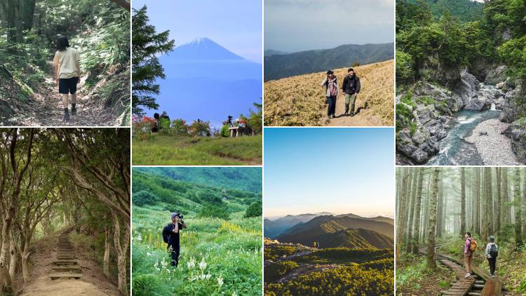
山歩(さんぽ)とは、山や身のまわりの自然の中を気持ちよく歩くこと。今すぐ行ける山歩コースや、山歩した気分になれる映像コンテンツを更新中です。