もらった絵文字55
写真13枚
09:2517.8 km1815 m
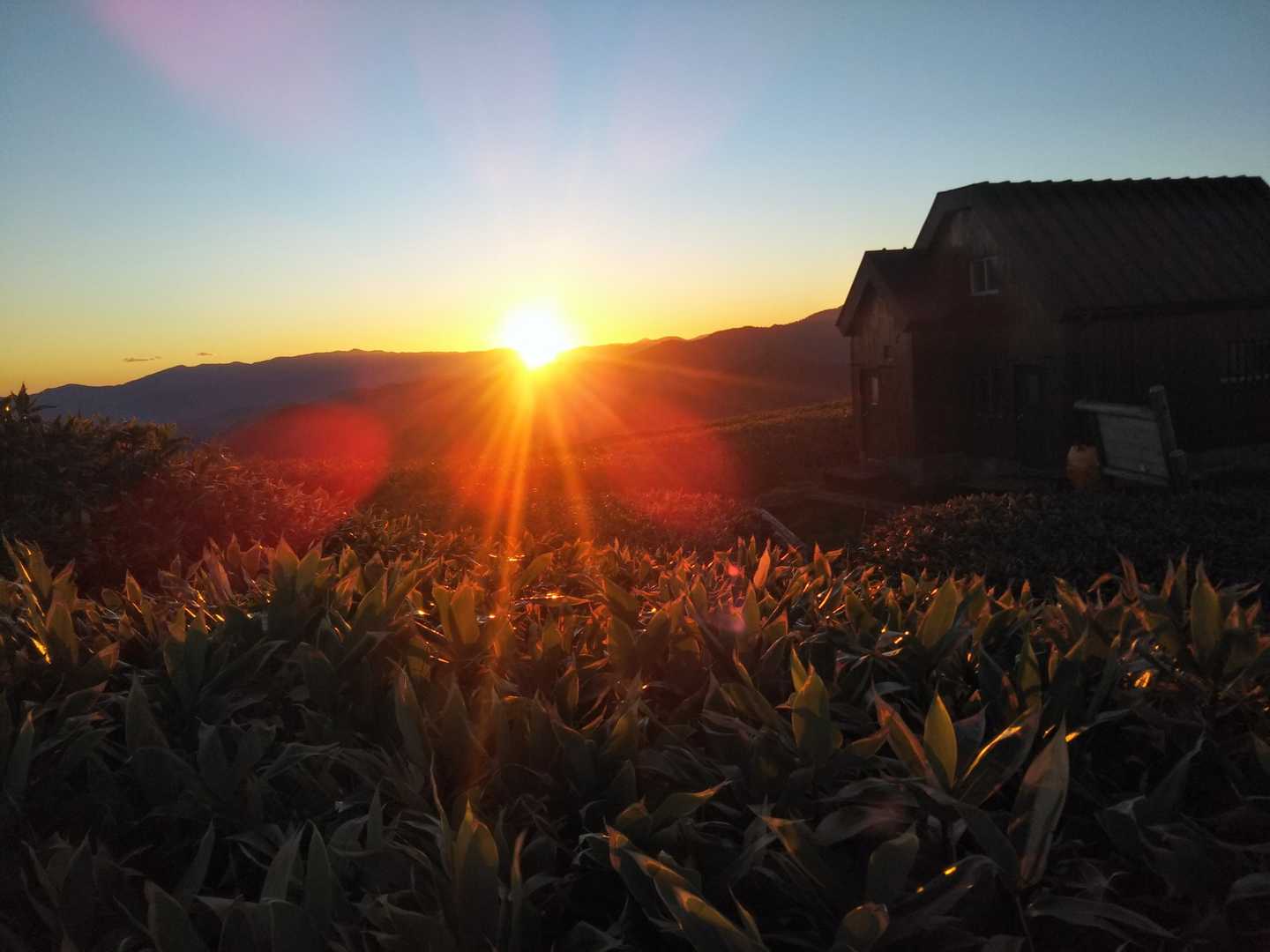
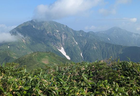
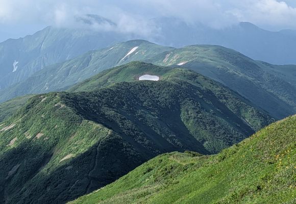
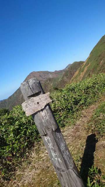
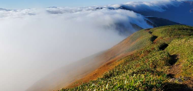
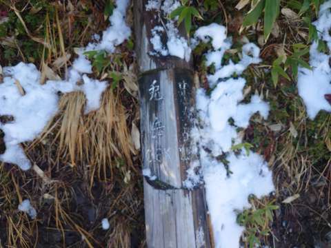
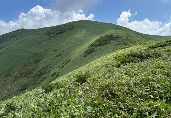
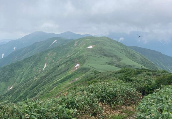
十字峡からの山はどこも急で、遠くて厳しい。 ハードルが高く、なかなかチャンスがなかった憧れのルートを、今回念願叶って歩くことができた。 水場のない夏の泊まり山行のため、必要な水の量と、長い急登で無理なく背負える重さのバランスを慎重に検討する。 シュラフは持たずシュラフカバーのみとし、夕飯も簡素にしてビールも持たずその分飲料水にウェイトを譲る。 1日目は不安定な天気予報ではあったものの、雨に降られることはなかった。曇天で陽射しがなかったのはありがたいが風がなく蒸し暑かった。 急登に次ぐ急登で、ヘロヘロになりながら登頂した中ノ岳は感無量。 中ノ岳避難小屋での夜は快適そのものでした。整理された清潔な小屋やきれいに整備された登山道に、救助隊の皆様のご苦労が伺えます。本当にありがとうございます。 翌朝にかけて、ほぼガスに包まれていましたが光の加減や雲の動きをただ眺め、その場に身を置くだけの贅沢な時間を過ごし泊まり山行の醍醐味を味わうことができました。 2日目、協力金を納め、中ノ岳山頂の木札を頂戴し、快適な夜のせめてものお返しに便器を擦って5時頃に出発。だんだんとガスが晴れていく風景や背後の中ノ岳の雄姿、これから辿る稜線の美しさに感動しきり。 この日は師匠が丹後山まで私達を迎えに来てくれる計画で、それも大きな楽しみにしてアップダウンを繰り返す。 大水上山の先には坂東太郎、利根川の源流碑。私の住む地域では荒川と利根川の水が配水される。これからは蛇口をひねる時にも、この碑を思い出すことが度々ありそう。 この稜線の美しさといったらもう、私の表現力では表しきれない。想像以上の素晴らしさ。 そして丹後山避難小屋をお借りし、師匠を待つことしばし。鈴の音がして扉を開けると地下足袋で汗だくの師匠の笑顔。 日帰りのわりに重たげに見えたザックから、冷たいフルーツやシャリシャリ感の残るゼリー飲料が出てきた😭😭歓声を上げて、遠慮なくいただく。同行の大先輩と、「神様仏様天使様🙏」と師匠を崇める。 下山は一気に師匠ペースで駆け下る。なんと五合目で休憩した際には、まだまだ冷たい缶コーラが師匠のザックから現れた!ほとんど一気に飲み干してその先へ✊️ すれ違いの際に、「元気ですねぇ」とお声がかかり、お話をすると兎岳から荒沢岳へのルートを刈り払いする為に上がってきた方で、楽しく、為になるお話をたくさん聞かせていただいた(思いがけず大休止ができたのも嬉しかった)。そのルートをいつか歩ける自分になっているといいな。 無事に丹後山登山口に降り、三国川の清く力強い流れを右手に見ながら林道を歩く。かれこれ二十年近いお付き合いとなる二人の山男の背中を追いながら、この山行を振り返る時間がまた幸福感を増幅させる。 「いつか」と思いながらチャンスを伺っていた今回のルート。新潟の先輩方の温かい力添えをいただきながら歩ききることができました。本当にありがとうございました!
データを取得中です。取得には時間がかかることがあります。
※年間の登頂者総数を100とした場合の各月の割合を%で表示
| 1月 | 2月 | 3月 | 4月 | 5月 | 6月 | 7月 | 8月 | 9月 | 10月 | 11月 | 12月 |
|---|---|---|---|---|---|---|---|---|---|---|---|
| 0% | 0% | 1.79% | 0.45% | 0.45% | 10.72% | 30.36% | 13.4% | 17.42% | 21.88% | 3.58% | 0% |
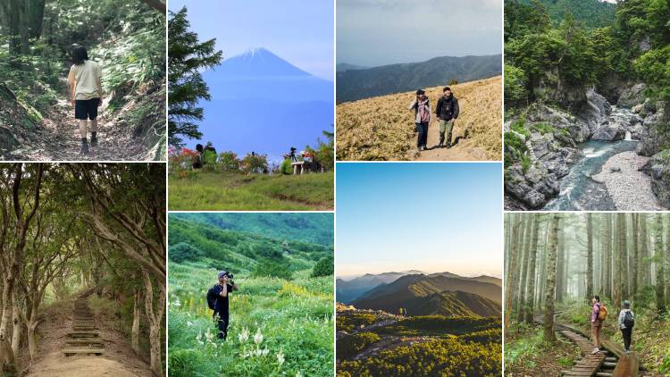
山歩(さんぽ)とは、山や身のまわりの自然の中を気持ちよく歩くこと。今すぐ行ける山歩コースや、山歩した気分になれる映像コンテンツを更新中です。