- 10:06
- 15.2km
- 1661m
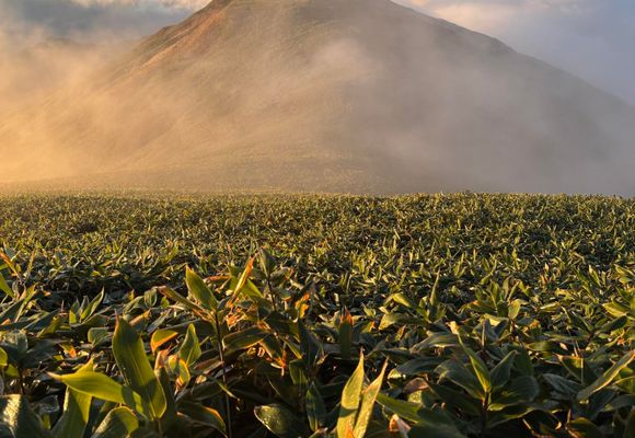
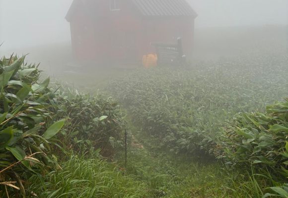
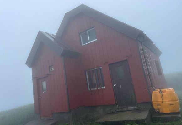
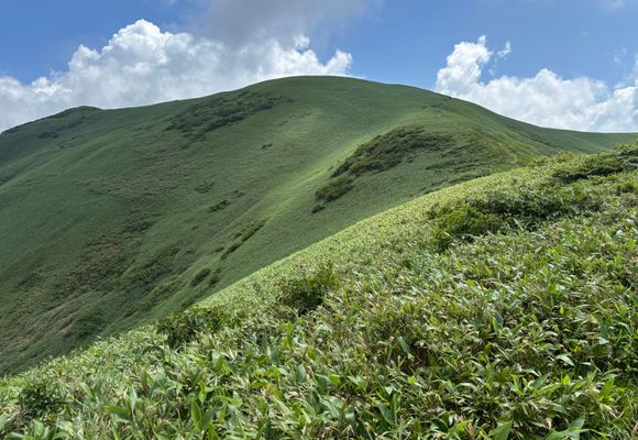
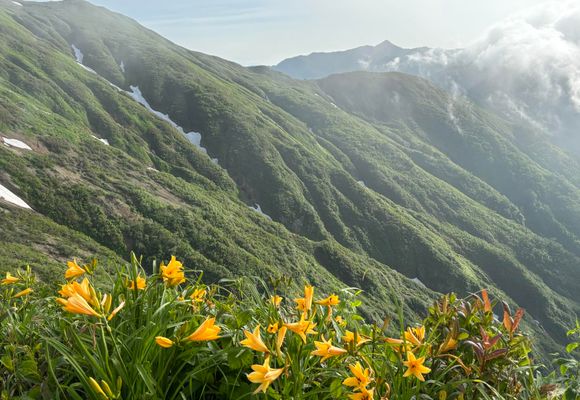
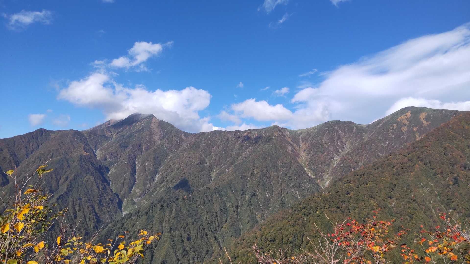
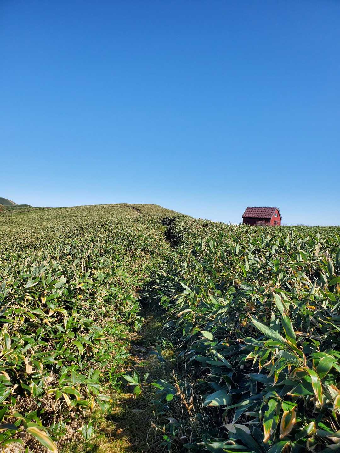
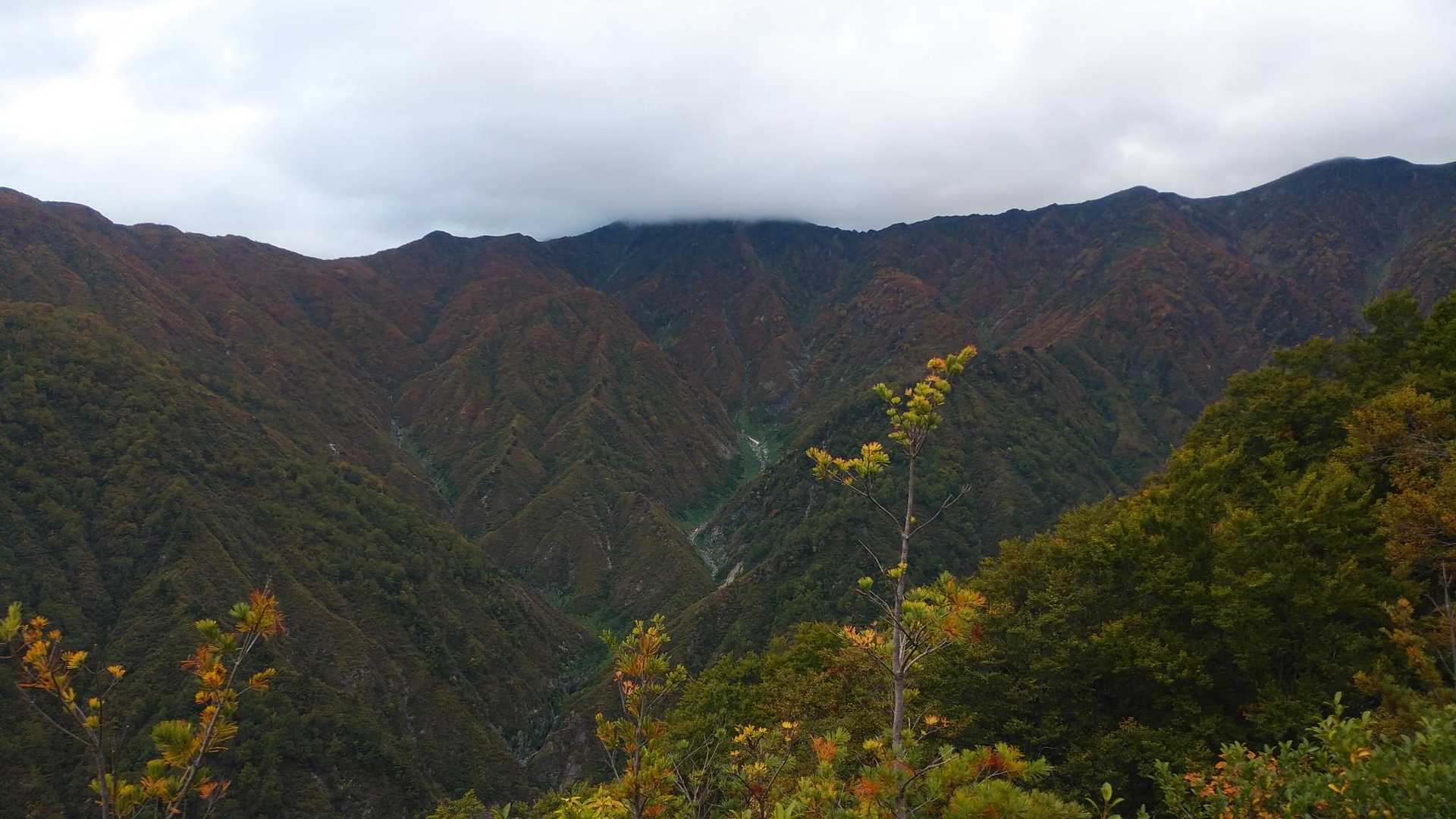
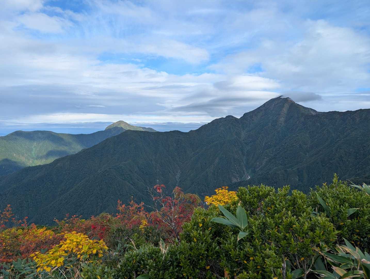
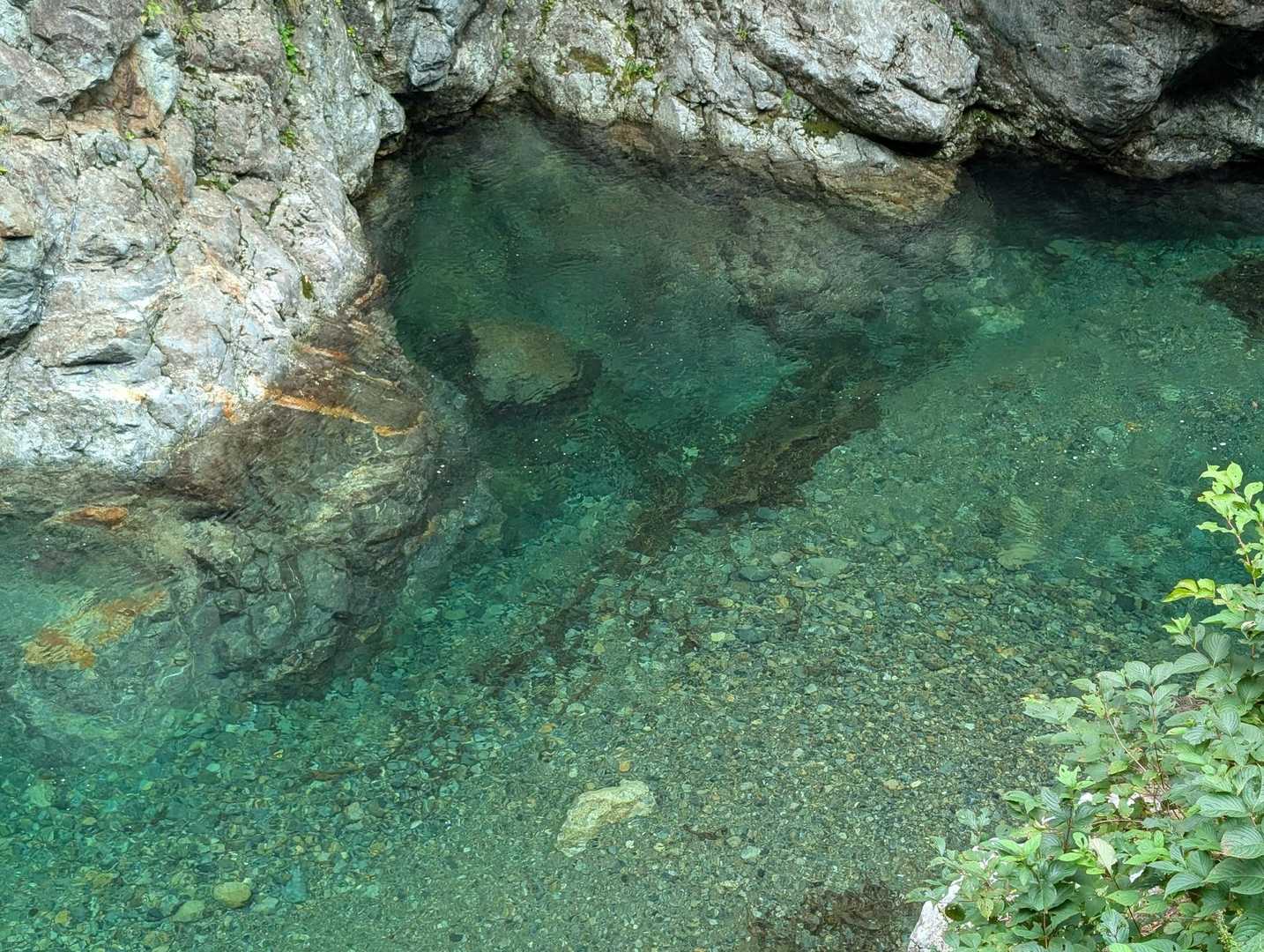
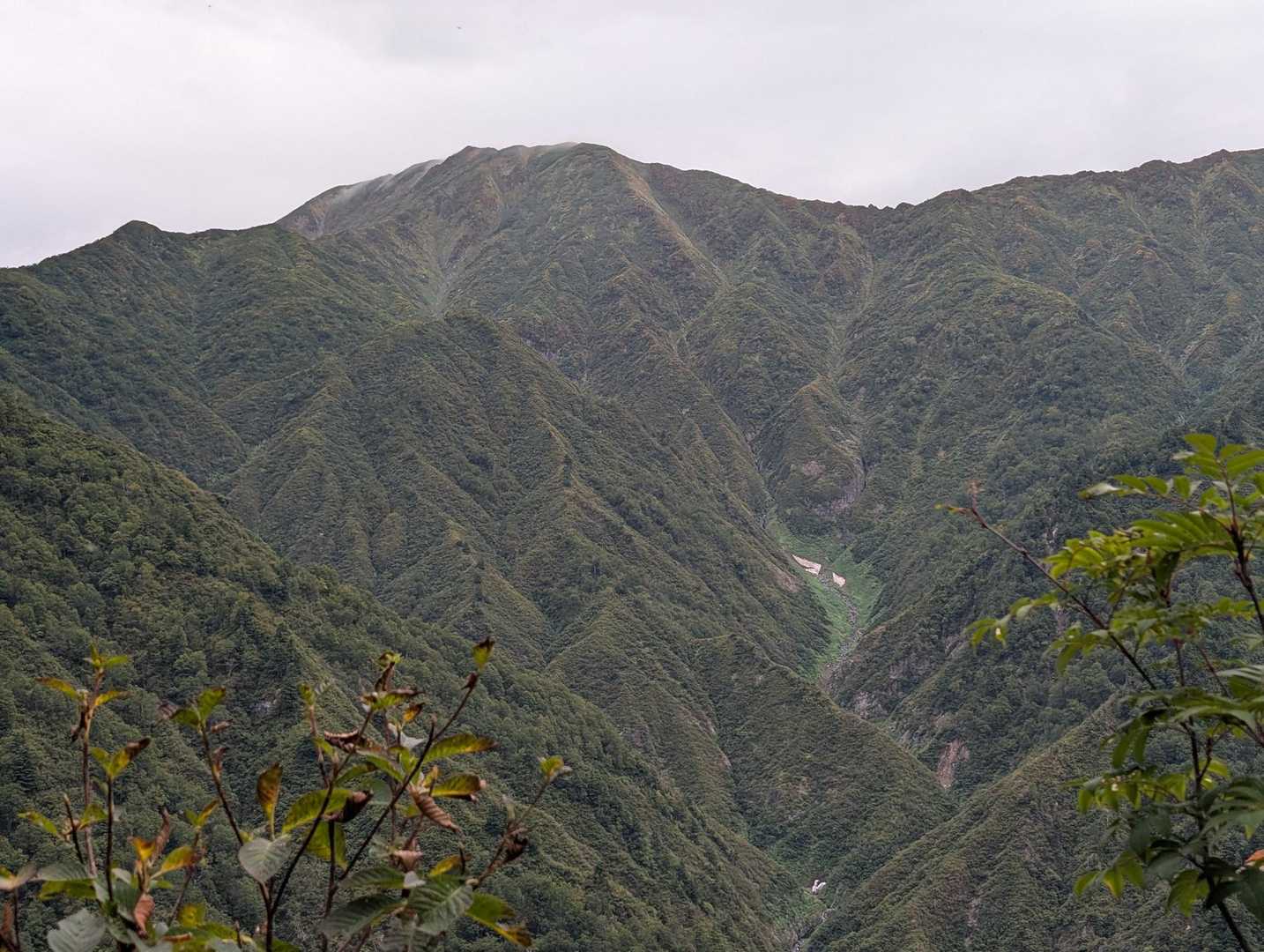
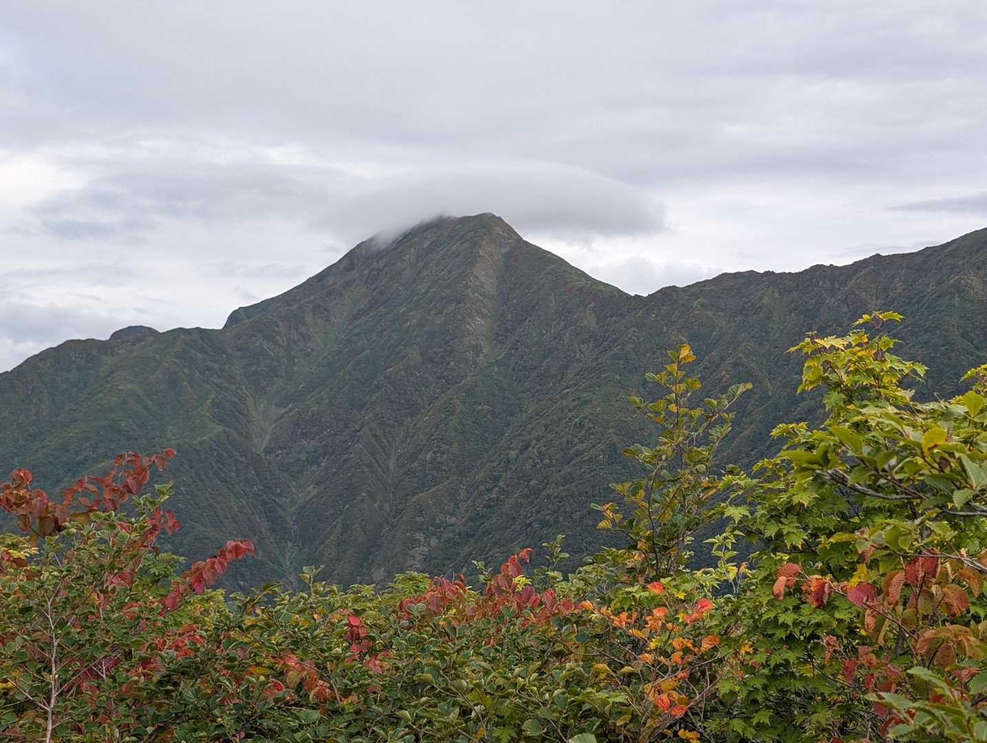
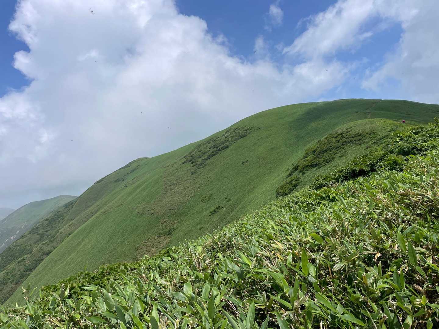
丹後山と大水上山は、新潟県南魚沼市に位置する美しい山々で、特にその稜線歩きが魅力的です。登山口は十字峡からスタートし、最初の急登を乗り越えると、徐々に緩やかな道に変わります。特に2合目までは心臓破りの急登が続き、登山者にとっては鍛えられるポイントです。登山者の中には、急登を乗り越えた後の開放感や達成感を楽しむ声も多く、特に8合目からの眺望は素晴らしいと評判です。 このコースは、特に秋の紅葉シーズンに訪れると、色鮮やかな景色が広がり、心を癒してくれます。紅葉がピークの時期には、山頂からの眺望がガスに覆われることもありますが、稜線歩きの楽しさは変わりません。多くの登山者がこのコースを選ぶ理由は、静けさと自然の美しさにあります。特に、周囲には滝や清流が流れ、心地よい風が吹き抜けるため、リフレッシュできる環境が整っています。 また、丹後山の避難小屋は利用可能で、登山者が休憩するには最適な場所です。ここでの休憩は、登山の疲れを癒すだけでなく、他の登山者との交流の場ともなります。周辺には温泉や美味しいグルメスポットも多く、登山後の楽しみも充実しています。 ただし、注意点もあります。特に夏場は暑さが厳しく、十分な水分補給が必要です。また、急斜面が多いため、下山時には慎重に行動することが求められます。登山者の中には、下山時に足を滑らせてしまった経験を持つ方もいるため、特に注意が必要です。 このコースは、初心者から健脚者まで楽しめる内容で、特に静かな山行を求める方におすすめです。自然の美しさと達成感を味わいながら、心に残る登山体験を提供してくれることでしょう。
登山の安全はここから
現在地が分かるGPSアプリ
電波の届かない場所でも地図や現在位置がわかる
無料でダウンロード
コースマップ
活動概要
- タイム
- 10:06
- 距離
- 15.2km
- のぼり
- 1,661m
- くだり
- 1,661m
標高グラフ
チャート
チェックポイント
このコースで通過する山
「ジャコ平-丹後山-大水上山 往復コース」を通る活動日記
すべて見る- もらった絵文字27写真28枚10:3216.7 km1746 m
- もらった絵文字63写真8枚09:4512.5 km1430 m
- もらった絵文字214写真45枚10:1419.7 km1719 m
丹後山・大水上山 丹後山避難小屋😊
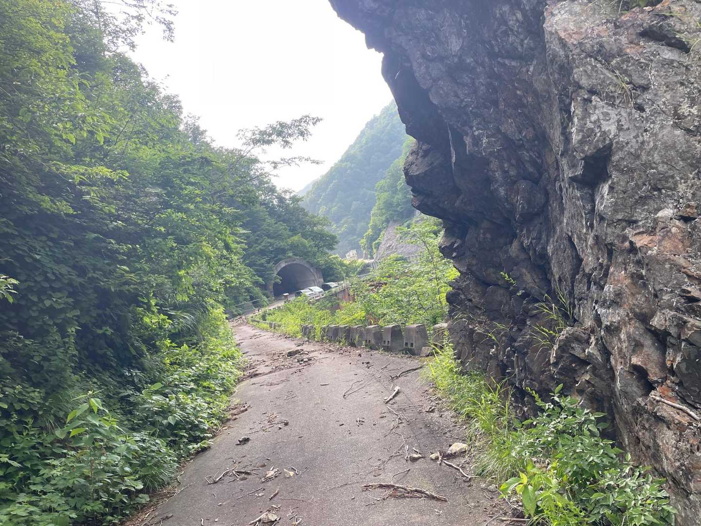
越後駒ヶ岳・八海山・中ノ岳(新潟)2026年8月1日 (土)日帰り本谷山の予定でしたが もう少しで登山口と言うところで道がなくなっています(林道崩壊)なんて事〜😵 水量も多くとても行けそうな感じではありません(その先の状況もあやしい)少し思案しましたが無理は禁物🙅♂️とにかくこの状況を伝えに行かないと(丹後山に予定を変更) 本日は中ノ岳救助隊の方とにゃーすけさんが丹後山(避難小屋)に登られるとの事を にゃーすけさん本人から聞きながらいっしょに(途中まで)スタートしています😊
- もらった絵文字63写真13枚09:2517.8 km1815 m
- もらった絵文字8写真6枚10:5915.4 km1586 m
- もらった絵文字13写真6枚11:0115.8 km1669 m
- もらった絵文字21写真10枚10:5915.5 km1577 m
十字峡-丹後山-利根川水源の碑-大水上山
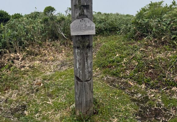
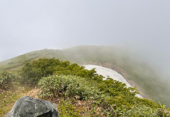
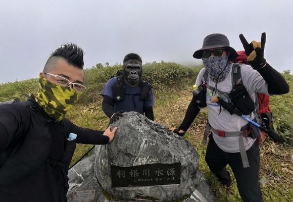
日光白根山・五色山・錫ヶ岳(栃木,群馬)2026年7月18日 (土)日帰り神奈川県を除く関東全域に恵みをもたらす母なる川の利根川の源流を見ようぜって事でたらむさんとウッホ君で行ってきました。 新潟県の十字峡の丹後山登山口駐車場からのスタート。三国川沿い進みますが、増水で爆濁り激流でした。 栃ノ木橋を過ぎると登山口があり、ここから標高525mから1800mを一気に登りますが、一合〜四合目までの急登は中々に心が砕けそうになりました。 最大の懸念点の前日の谷川岳でグロッキーだったウッホ君は不思議と付いてこれてます。 7合目で森を抜けると、壮大な景色が広がりますが、運の悪い事に霧で視界が悪い😭 9合目からは笹藪の尾根道となり楽でした。 丹後山避難小屋→可愛らしい山頂表記の丹後山頂→利根川源流の碑と進み、利根川最初の一滴の雪渓を見ますが、残念ながら霧で視界がほぼ無し。 大水上山に行くと途中で、群馬から来られている方から、利根川源流、高山植物などについてお話を聞きました。75歳で大水上山に何度も来られているとの事で、健脚っぷりに驚きです。 大水上山頂で昼食を摂り、来た道を戻りますが、急傾斜の下りなので精神力を消耗しました。 帰りに「長岡生姜醤油らーめん壱八商店」でラーメンを食べて家路に着きました。 しかし長岡ラーメン美味かった。さすがラーメン大国の新潟県。
- もらった絵文字85写真25枚09:2215.7 km1631 m
猛暑でヘバった 丹後山 まで半周回
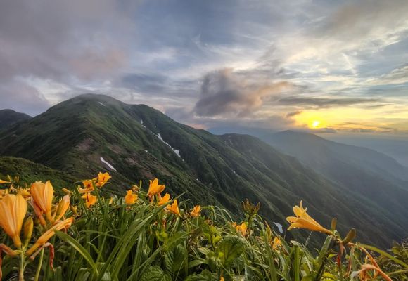
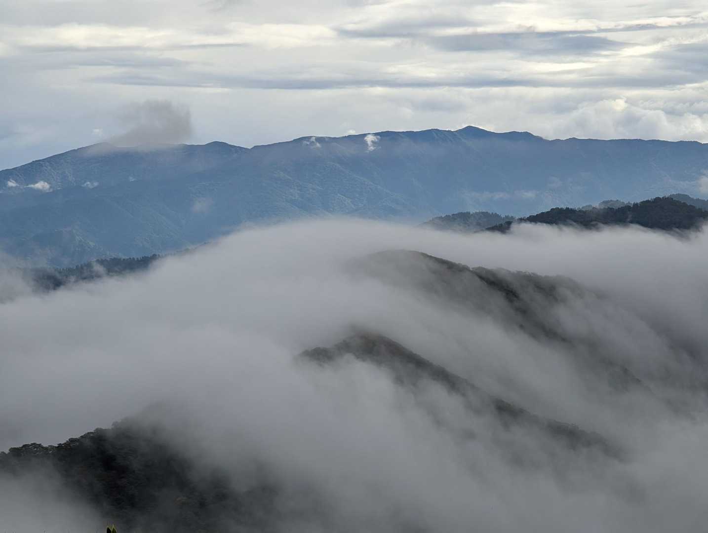
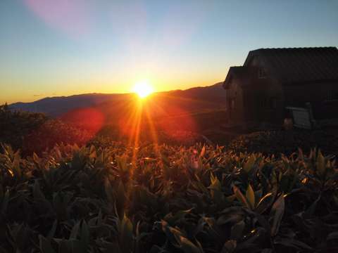
越後駒ヶ岳・八海山・中ノ岳(新潟)2026年7月8日 (水)〜9日 (木)2日間2度目の丹後山は小屋泊まりで半周を計画。 2ヶ月のブランクや30度超えの暑さもあって、 二合目まで休憩ばかりで体にも力が入らず、 常に撤退が頭の中を占拠する、過去トップクラスの辛さ。 トレーニングもしないと夏の縦走計画も厳しそうなので、 なんとか根性で向かって、 夕方の気温も下がって、かろうじて小屋まで。 翌日の身支度も、替えの服を忘れて、 ぐっしょりの服を再度、着込むミス。 ガスが抜けた短い時間の日の出タイムも、 雲海こそ無かったけど楽しめた
- もらった絵文字67写真17枚08:1815.6 km1584 m
- もらった絵文字235写真78枚10:5417.7 km1855 m