もらった絵文字51
写真9枚
04:2616.6 km1279 m
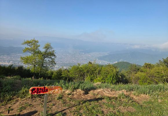
坂城町ピーハン漏れ回収、🐻遭遇🙄
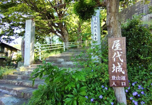
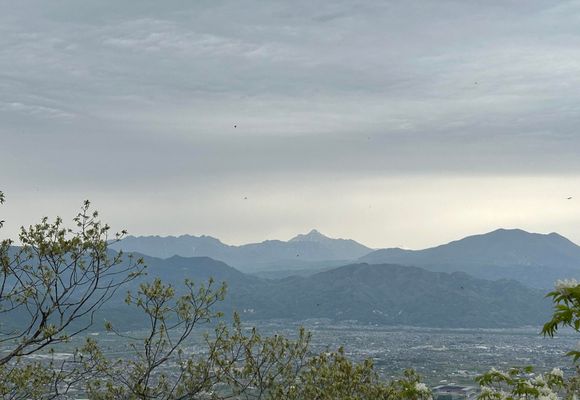
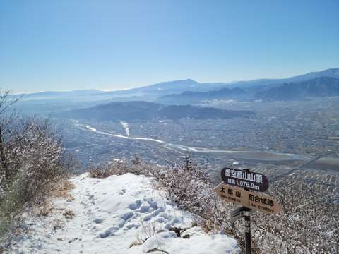
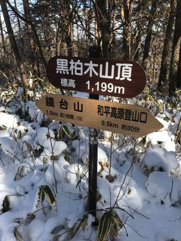
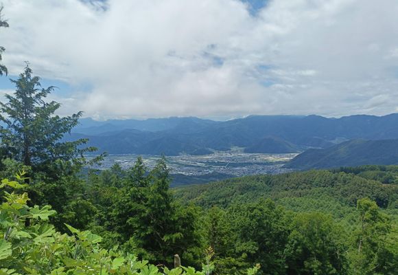
鏡台山・五里ヶ峯・鞍骨山(長野)
2026.06.21 (日)日帰り
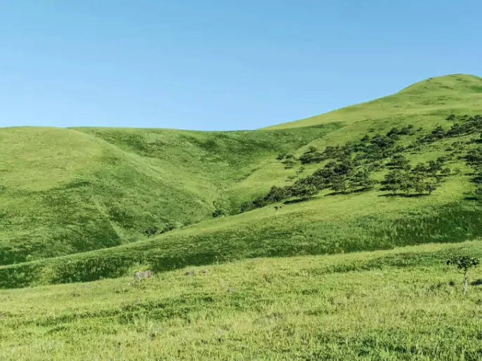
太郎山と鏡台山との間、ピークハント漏れ回収😺 天気悪いんじゃなかったの?!めっちゃ☀やん😳暑い😵 駐車までの山道は舗装で幅5m超あるので快適😺山道前の住宅街の道のが狭い🫠 久しぶりにスマホ落としていたの気付かず、登り返し😫 誰とも会わず🤧まぁ、そうだよな、うん🫠 あ、🐻とは今年1回目の出会いがありました🙄会いたくはなかったですがね🫠 和平公園南東、車通れるほどの荒れた林道で100cmほど1頭、10m前を下から上へ通過😅