活動データ
タイム
01:21
距離
3.5km
のぼり
255m
くだり
260m
活動詳細
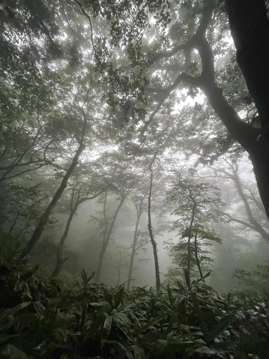
すべて見るA long drive to farthest corner of Ibaraki ken from Tokyo. Weather was looking good once the typhoon no 7 had passed Kanto but just around daybreak it started raining in Daigo crashing hopes of open views from the highest mountain in Ibaraki. Yes Yamizo san at 1022m is the highest mountain of Ibaraki ken. Once you leave the route 28 and enter 248 the road gets narrower and narrower but my carNavi announcing to be careful or narrow roads. Though there were a few mirrors at half to see turn and bends the weather made it very difficult to see ahead and I was lucky enough to reach top without having to pass another vehicle. (Frankly it’s a narrow road where one would have to go backup to find a broader space to let vehicles pass each other). Early in morning and the road was so misty I missed the turn to Nichirinji temple , my supposed car park and start of hike and I reached the top parking. Peak was just a few minutes walk from there so I didn’t want to make it such an easy hike so I turned back and returned to Nichirinji car parking. Trail which crisscrossed the road twice was through a beautiful forest with some overgrown and still wet vegetation and in less than an hour I was at observation tower made like a castle. It was still misty and clouds were flowing in and out at this elevation and I could not see any of the mountain peaks mentioned on the circular plaque fixed there. I was surprised to see another loan hiker approach the peak marker. Later I found out he is contemplating climbing the highest mountain of each prefecture (各都道府県の最高峰) and this is his third last mountain ! All the best Fukuchan Maru san ! For return I chose a slightly different route and reached the car park through a cedar plantation after checking another water source. There is a toilet at lower level of parking. 新関東百名山 79
もしも不適切なコンテンツをお見かけした場合はお知らせください。