モデルコース
稲積山 往復コース
- 02:00
- 2.5km
- 354m
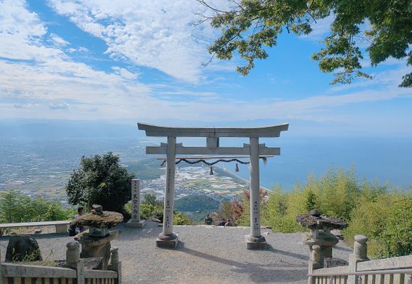
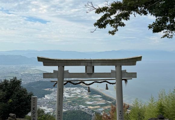
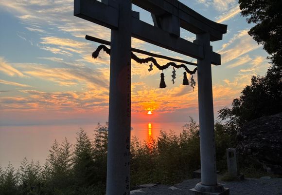
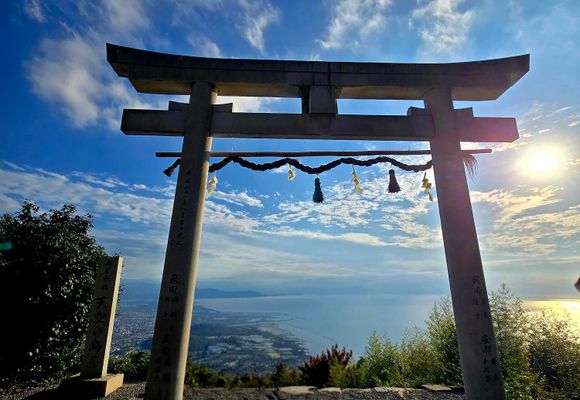
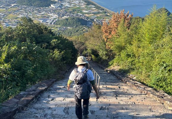
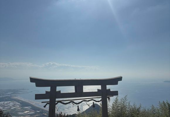
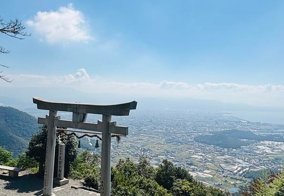
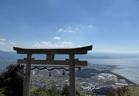
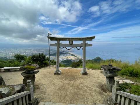
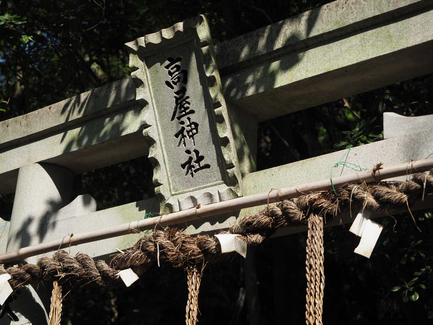
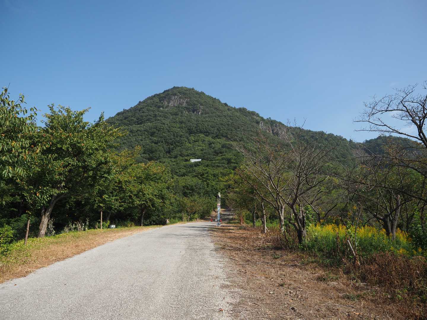
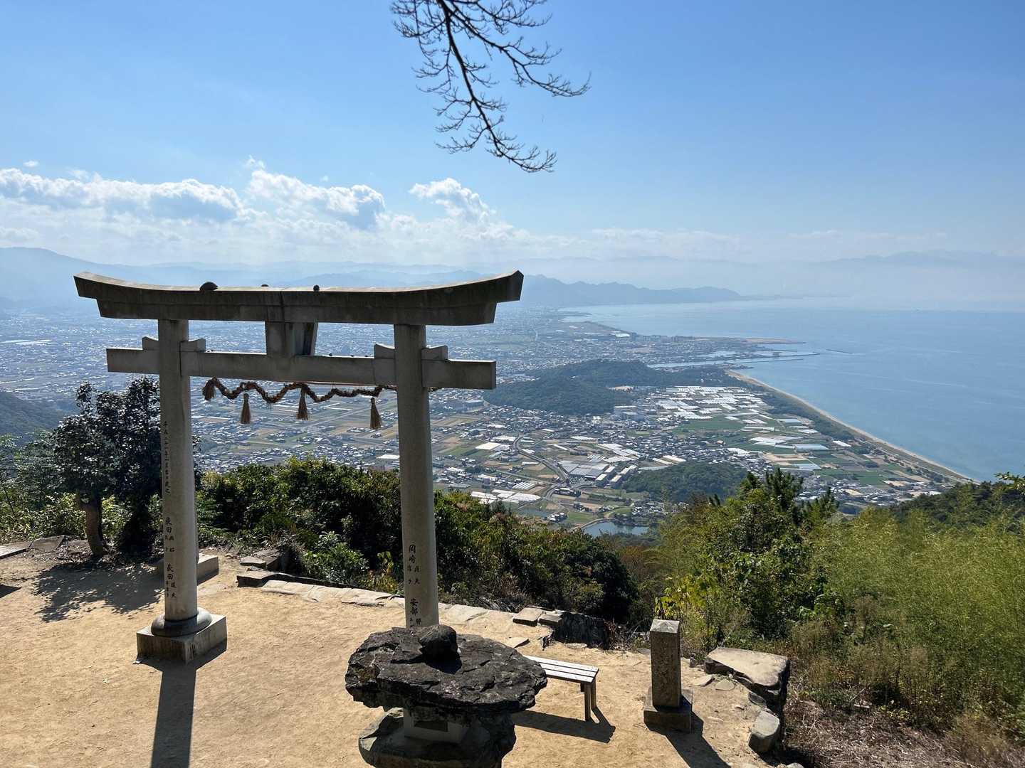
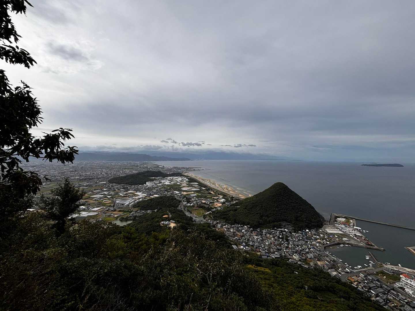
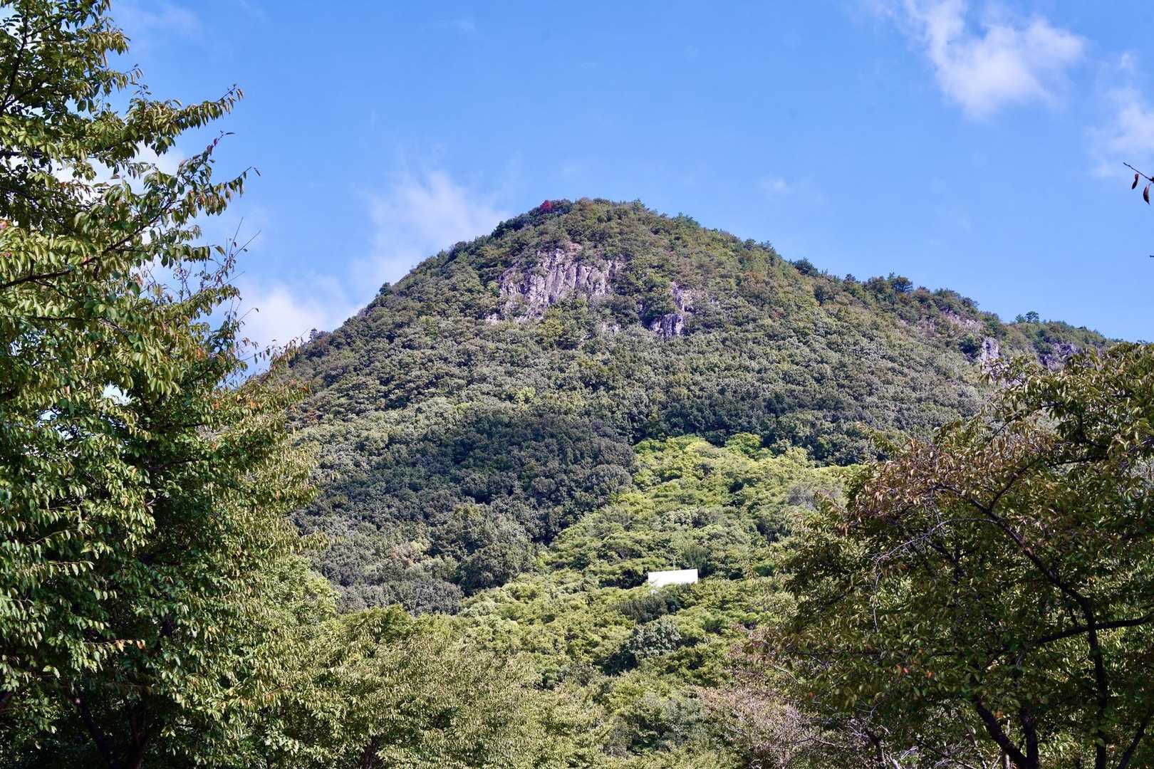
稲積山は香川県に位置し、特に「天空の鳥居」として知られる高屋神社があることで人気の登山スポットです。このコースは、初心者から健脚者まで楽しめる内容で、特に家族連れや友人同士での訪問におすすめです。 登山のスタート地点は高屋神社の下宮で、ここからは舗装された急な道を登り始めます。途中、石混じりの土の道に変わり、最後は長い階段が待ち受けています。登りはしんどいですが、山頂に到達すると、観音寺市街地と雄大な瀬戸内海の絶景が広がり、達成感を味わえます。特に晴れた日には、青い空と海、白い鳥居のコントラストが美しく、心が洗われるような感覚を得られます。 また、登山中には幻想的な朝日や雲海を楽しむこともでき、四季折々の自然の美しさを感じることができます。特に春や秋は、花や紅葉が楽しめるため、訪れる価値があります。ただし、急登や滑りやすい箇所があるため、注意が必要です。 下山後は、香川県名物の讃岐うどんを楽しむことができるお店が近くにあり、特に「手打ちうどんバカ一代」や「讃岐うどん こばや」などが人気です。うどん巡りをしながら、地元のグルメを堪能するのも良いでしょう。さらに、父母ヶ浜という美しいビーチも近くにあり、絶景の中でのリフレッシュが可能です。 このコースは、観光客が多く訪れるため、平日や早朝の登山をおすすめします。特に、朝の静けさの中での登山は、心に残る体験となるでしょう。ぜひ、稲積山での素晴らしい時間を楽しんでください。
登山の安全はここから
現在地が分かるGPSアプリ
電波の届かない場所でも地図や現在位置がわかる
無料でダウンロード
コースマップ
活動概要
- タイム
- 02:00
- 距離
- 2.5km
- のぼり
- 354m
- くだり
- 354m
標高グラフ
チャート
チェックポイント
このコースで通過する山
「稲積山 往復コース」を通る活動日記
すべて見る- もらった絵文字6写真14枚02:544.1 km413 m
- もらった絵文字7写真50枚01:172.9 km352 m
稲積山(天空の鳥居⛩️)
稲積山・志保山・七宝山(香川)2026年10月12日 (月)日帰り三連休、愛媛遠征最終日。金曜日夜からめっちゃ運転したのでこれ以上遠くへ行くのはやめて、帰り道にサクッと登ってから帰ることにした。色々考えたけど、天空の鳥居⛩️よくInstagramで見るやつ。ここにしようとやってきた。 7時前着、第一駐車場に余裕あり。身支度済ませて出発🚶稲積山だけだと観光登山。登山客の方が少ない。最初の1/3は舗装路、その後は未舗装。登り続けて汗だくで登頂。空いてるうちに写真撮らねば。⛩️ばかり見てて山頂標識忘れてた!後で調べるとそもそもない?? 下山は案内通りに景色の見えるところとか明治時代の鳥居⛩️とか見て下りた。 さあ、香川に来たらうどんを食べて帰らないと。9時オープンのお店、1分前に到着するも満車&大行列、ですぐ近くのチェーン店へ。そこは空いてたけど、ランチは並ぶとか。トッピングもいっぱいできて美味しかった😋その後、産直市場で地元野菜買って、瀬戸大橋経由で帰京。与島SAだけ寄り道。昼やしどこも渋滞なく楽々帰れた。昨日いっぱい山道運転したから高速は楽々だな🚗👌 ※備忘録 6:00 出発🚗 7:00 到着 8:00 天空の鳥居⛩️ 9:15 うどん 10:00 産直市場 10:30 出発 11:00 与島 と 車中のお片付け 14:30 高速降りて洗車(石鎚山で付いた樹液と高速で付いた虫を洗い流す) ※感想など 初めての1人登山合宿(1人旅はある) 距離は計1,000km近く運転した?(ちゃんと計算してない) 3泊車中泊🚗ぐっすり眠れた 運転何とかなった(眠たくなるのだけがネック。行きは何度か顔をパチパチした。帰りはラジオ聞いてたら全然眠くならんかった。山道は一ミリも気が抜けないし精神的に疲労する) とにかく気を使わない、全てが自由 瓶ヶ森頂上独り占めは至福の時間 外食は3回(クレープ、うどん、うどん) そういや、白米食べてないけど、主食うどんレベルなのでN.P. 全ての山がお天気サイコーだったので大満足😊 強いて言うなら、石鎚山の攻め方を変えねば(天狗岳行くなら混む前に、それこそ土小屋車中泊でブラックスタート??) UFOラインは昼は何とかなる、暗い時は絶対に通りたくない(怖そう) ひうちの湯、お気に入り認定♨️露天風呂が良き 産直市場では香川の野菜など購入(三豊なすなどと、なぜか180円の栗も🌰小さいし?虫食い?調理前なのでわからず、剥くの大変やしホットクックで蒸そうか) うどん屋(こがね製麺所 フレスポ西条店・こだわり麺や 観音寺店)個人的には、こがねの方が麺のこしがあって好き、でもどちらも美味しい、トッピングにレモンあるの神🍋うどん屋がいっぱいあるので、ほんまに四国大好き! 無事に帰ってこれて何より😊 こんなもんかな? また思い出したら書き足すとするか。 まとまってない文章で🙇♀️
- もらった絵文字0写真9枚01:103.3 km406 m
ツーリング&高屋神社(天空の鳥居)
2026年10月11日 (日)日帰り元々は、裏手まで林道使って行くつもりだったんです。 そしたら「通行止め・シャトルバス利用を」→「シャトルバス運休」の流れから、一日に二回の軽い山行、、ジーパンで行きました。
- もらった絵文字16写真6枚01:043.1 km375 m
高屋神社(天空の鳥居)
2026年10月10日 (土)日帰り行きたかった天空の鳥居! 400mほどを一気に登り、画像取って一気に降りたら足がパンパンに(笑) スケジュール押してたからね モンベル アウトドアオアシス石鎚店に行きたくて急いだ
- もらった絵文字9写真1枚01:062.4 km334 m
- もらった絵文字2写真5枚01:062.5 km334 m
- もらった絵文字28写真4枚00:553.5 km347 m
天空の鳥居
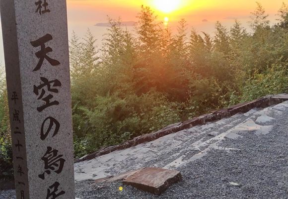
稲積山・志保山・七宝山(香川)2026年10月9日 (金)日帰り石鎚山登山を終えて 10日に登る剣山に移動するけど国道438号線は平日道路工事が断続的にやっていてスムーズに通れるのが17時から21時の間なので時間潰しに以前から気になってた高屋神社に寄り道しました、登ると 丁度🌅日の入りが拝めました。 せっかく温泉♨️に入った後なのに大汗かいたので車に戻って着替えに夢中になってしまい 活動終了押し忘れていました😆寄り道したので21時から通行止め もう準備してたけど何とか間に合い通れましたました。 リフトに1番近い駐車場は2つ空いてました。皆さんもう就寝してるみたいなので私も寝ました。
- もらった絵文字8写真20枚01:283.0 km345 m
- もらった絵文字52写真12枚01:122.4 km332 m
天空の鳥居⛩️高屋神社 稲積山へ
稲積山・志保山・七宝山(香川)2026年10月9日 (金)日帰り石鎚山の登山を終えて 香川県を観光。 稲穂山の高屋神社へ 登山参拝がてら 天空の鳥居⛩️を目指した 軽い気持ちで私服にスニーカー😅 登りはじめて後悔💦滝汗 かなりの坂道 でも観光客も多くほとんどの人は 私服にスニーカー😅 山頂は期待以上の景色 毎度の事ながら疲れも忘れるよね
- もらった絵文字27写真12枚01:122.5 km331 m