
モデルコース
半月山-半月峠-中禅寺山 往復コース
- 02:15
- 2.7km
- 366m
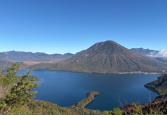
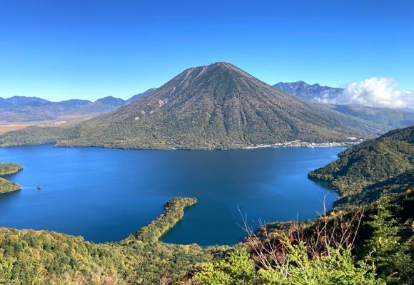
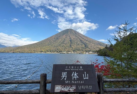
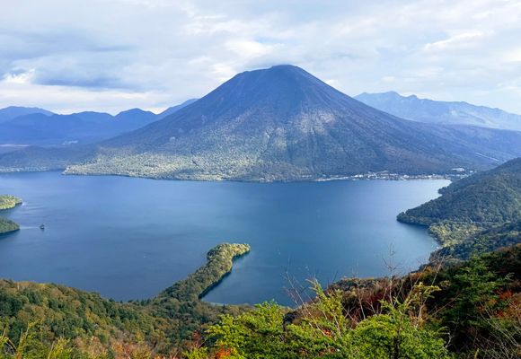
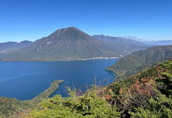
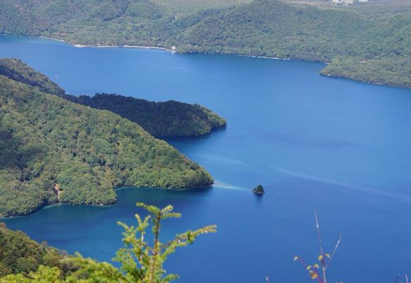
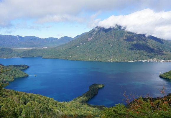
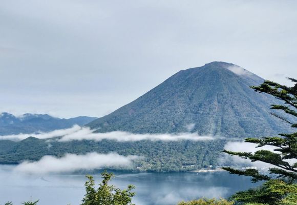
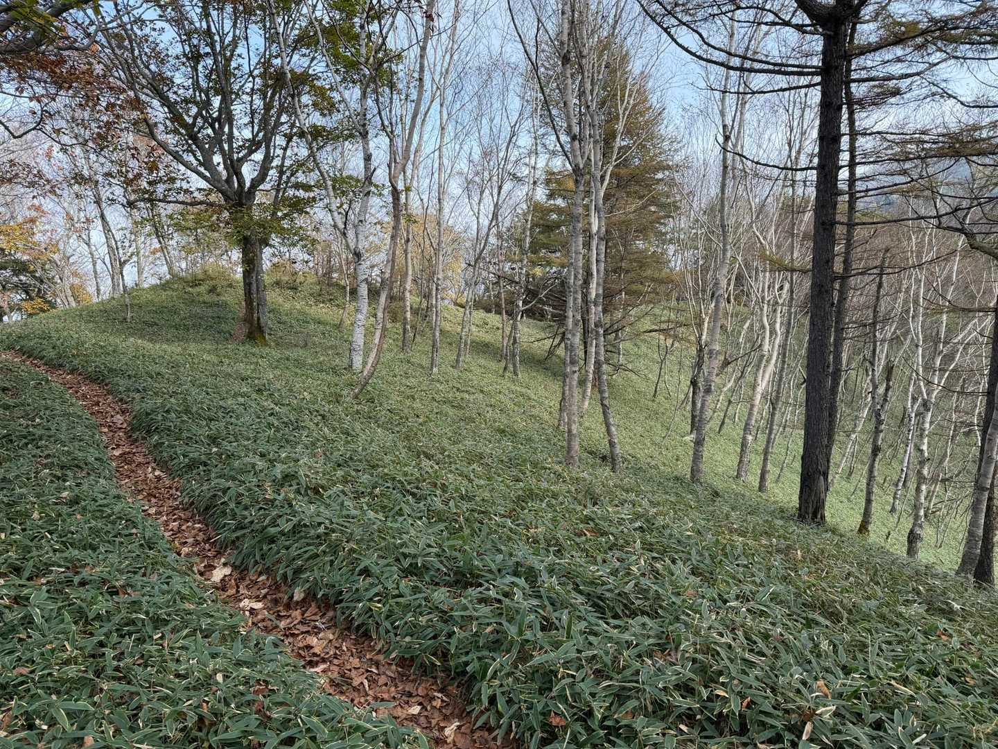
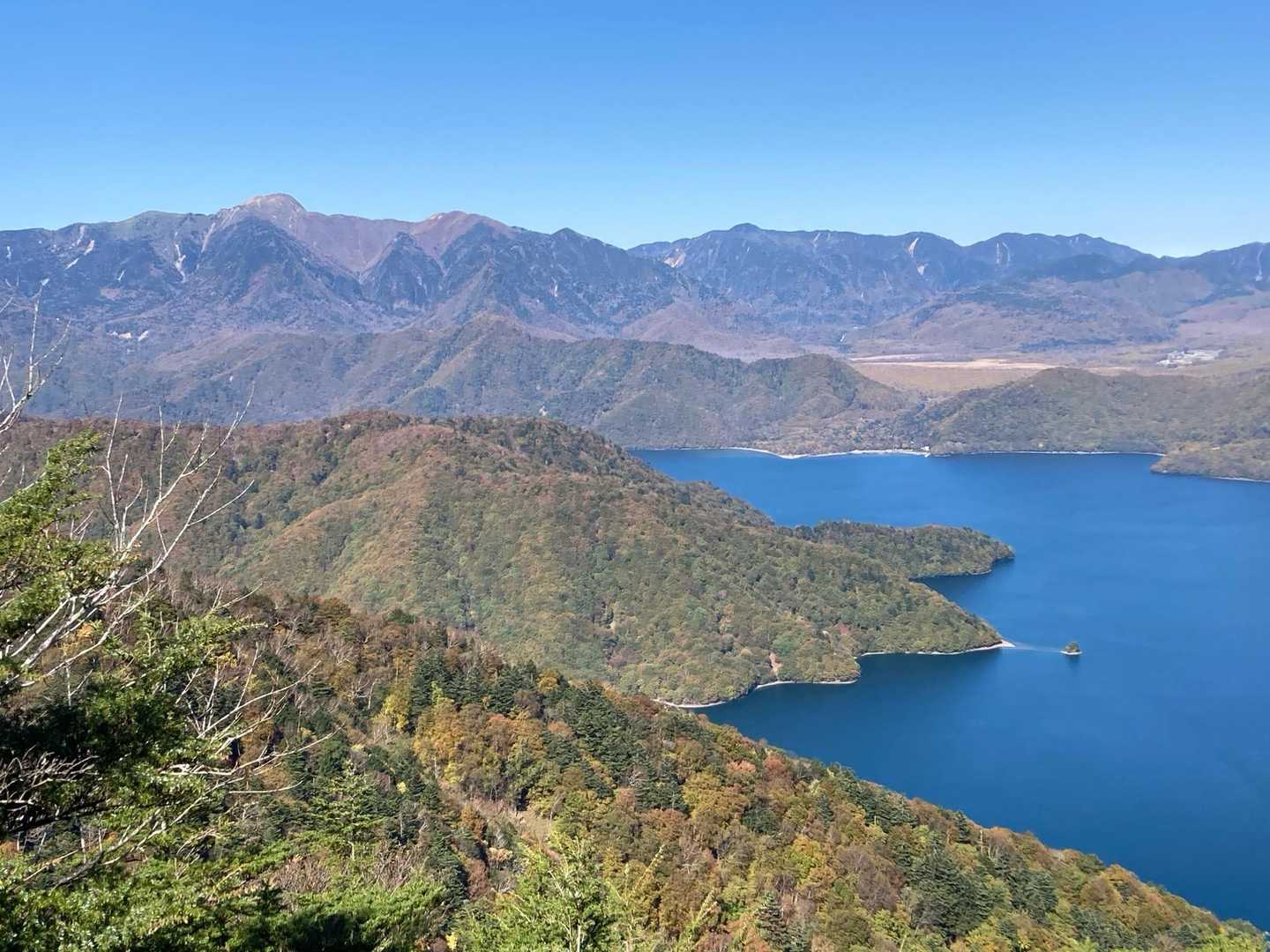
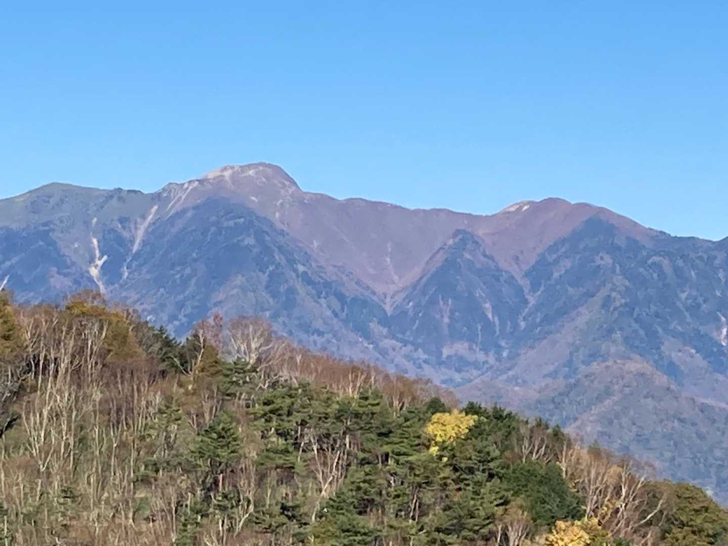
半月山は、日光の美しい自然を満喫できる人気の登山コースです。駐車場は無料で、早朝から多くの登山者で賑わいますが、特に紅葉の時期には混雑が予想されるため、早めの出発をおすすめします。展望台からは中禅寺湖や男体山の絶景が広がり、晴れた日には富士山も望むことができます。登山道は整備されており、初心者や家族連れでも安心して楽しめるコースです。 登山者たちの体験談によると、半月山の展望台からの眺望は特に素晴らしく、朝日を浴びながらの朝食タイムは格別です。登山者の一人は、「ここから見える山々は最高で、富士山も見えた!」と感動を語っています。また、紅葉の時期には色とりどりの葉が美しく、自然の美しさに癒されること間違いなしです。 ただし、冬季には雪が残ることもあり、滑りやすい箇所があるため、注意が必要です。特に急な下り坂では慎重に足元を確認しながら進むことが求められます。登山後は、近くの温泉や日光名物の湯葉料理を楽しむこともでき、充実した一日を過ごせます。 このコースは、家族や友人と一緒に楽しむのにぴったりで、特に子供連れの方にもおすすめです。登山の後には、宇都宮での餃子や新型路面電車の体験も楽しめるため、観光とアウトドアを同時に楽しむことができます。半月山は、自然の美しさと共に、心温まる思い出を作ることができる素晴らしい場所です。
登山の安全はここから
現在地が分かるGPSアプリ
電波の届かない場所でも地図や現在位置がわかる
無料でダウンロード
コースマップ
活動概要
- タイム
- 02:15
- 距離
- 2.7km
- のぼり
- 366m
- くだり
- 366m
標高グラフ
チャート
チェックポイント
このコースで通過する山
「半月山-半月峠-中禅寺山 往復コース」を通る活動日記
すべて見る- もらった絵文字744写真85枚01:462.5 km338 m
🐶⛰️半月山・中禅寺山🍁🍂
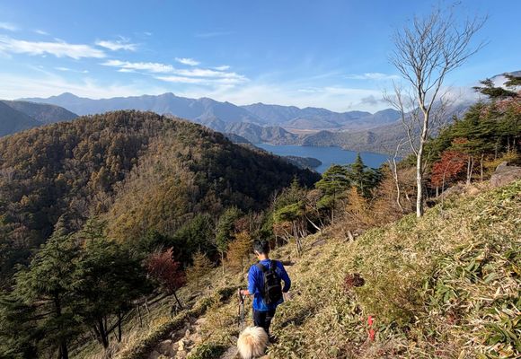
社山・半月山(栃木,群馬)2026年10月18日 (日)日帰り午前中は仕事でバタバタだったけど、午後に少し時間ができたので、中禅寺山へサクッと山歩き⛰️🍁 そして今日は、ポマちゃんの12歳のお誕生日🎂🎉 わーい!おめでとう〜❤️ 12歳になっても、山歩きでも毎日のお散歩でも、まだまだ元気で足取りも軽いポマちゃん🐶💕 これからも一緒にたくさんお出かけしようね! 半月山駐車場からのショートハイクだったけど、紅葉は最高にきれいで、景色もバッチリ😍🍂 忙しい毎日の中、こんなふうにきれいな景色を楽しめる時間って幸せだなぁ。 ポマちゃんのお誕生日に、素敵な景色と楽しい山歩きができてよかった〜🎂⛰️❤️
- もらった絵文字28写真30枚02:402.9 km364 m
- もらった絵文字49写真10枚02:422.9 km371 m
- もらった絵文字48写真24枚03:033.0 km380 m
半月山・中禅寺山
男体山(栃木)2026年10月17日 (土)日帰り先週の三連休前に4度目のぎっくり腰をやってしまい(軽度)どこにも行けず腐っていて…( ̄▽ ̄;)💦 テレビから流れる紅葉の映像を指をくわえて観ているしか出来ず😭 今週末こそは絶対に紅葉を観に行くんだ‼️ と決意し、嫁ちゃんの予約も入れておいてたが…、 夕方から歯医者の予約があったの忘れてた😰 …やっちまった💧 当初の予定では男体山⛰️の紅葉を観に行こうと思ってたんだけど… 6時から登り始めてゆっくりペースで下山まで9時間みると…、歯医者にはギリ間に合うけど。 下山後の飯&温泉の時間がない(嫁ちゃんぶちギレ案件)。 ならば、白根山⛰️は… 朝一ロープウェイで8時30分から登り始めて下山まで5時間30分みると…、歯医者にはギリ間に合うけど、 やはり下山後の飯&温泉が… …潔く諦めよう😭 ただ紅葉は観に行きたいし、⛰️にも行きたい‼️ ということで半月山へ⛰️ 7時から中禅寺湖スカイラインのゲートが空いて終点の駐車場へ。 駐車場は展望台にもなっていて到着した時点でもう良い景色‼️ 仕事関係の用事もあって、年4~5回は日光に来ていたけど、こんなところがあったのは知らなかった( ̄▽ ̄;) 展望台から皇海山や中倉山がよく見えて ε=(ノ・∀・)ツ サイコー‼️ 富士山も⛰️‼️ この駐車場からの景色でもう眼福眼福☺️ 登り始めて20分位で半月山展望台へ👀 登ったことはあるけど、ここから見る男体山もなかなか💮 紅葉はまだこれからって感じかな🍁 よし🎵来週は男体山へ行くか😃
- もらった絵文字42写真14枚01:152.8 km372 m
- もらった絵文字57写真24枚02:212.5 km356 m
- もらった絵文字15写真12枚03:253.3 km380 m
半月山・中禅寺山
社山・半月山(栃木,群馬)2026年10月10日 (土)日帰り東京から、大切な方が来てくれて😌 いつか、一緒にお山しようと約束してた。 お山活。 お天気☀️は最高👍 楽ちんで登って、眺めは最高✨️ お山飯🍚を一緒に食べ、お山カフェ☕*°をする為だけのハイキング⛰️ 中禅寺山にて。お昼は、🍅スペシャルトマトリゾット😋 ミネストローネは、昨晩自宅で仕込んでおき。 🍆とミニトマトを炒め、ミネストローネを投入。米は我が家🌾産のコシヒカリで、雑穀米と炊いて、🍙にして持参。 🍆とミニトマトは、今朝、畑でとってきて。 雑穀米🍙を入れ、卵🥚、とろけるチーズを入れて完成✨️ 感動✨️の美味さ😋 食後のデザートは、シャトレーゼの和菓子。 珈琲☕️は、サザ珈琲のグァテマラ☕️ 体を動かしたあとの、山lunchは最高✨️ 眺めも最高でした✨
- もらった絵文字7写真9枚02:222.7 km347 m
- もらった絵文字24写真19枚02:242.7 km368 m
半月山・中禅寺山(日光)_2026-10-1
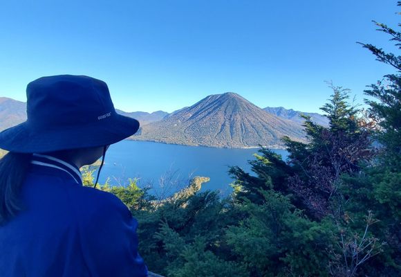
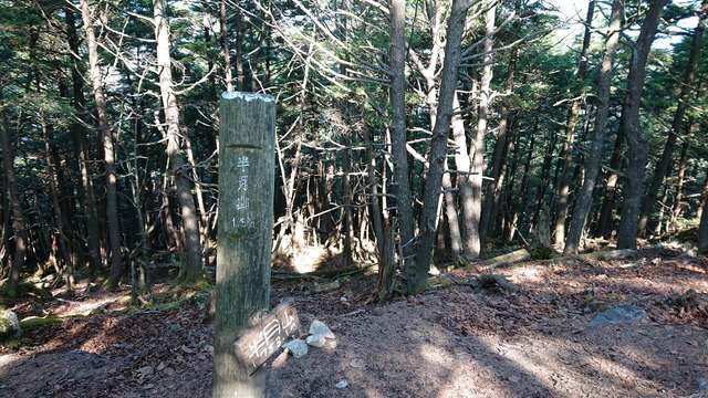
社山・半月山(栃木,群馬)2026年10月1日 (木)日帰り前日、社山に登る予定やったけど日光あたりから霧雨で中禅寺湖に着く頃には完全にガスの中。諦めて今日の宿の日光湯元温泉に移動して♨️に浸かってまったり過ごした 翌日は朝から晴天 午後に予定が有ったのって行き先を半月山に変更 頂上は樹木に囲まれ眺望は無いけど手前の展望台からは中禅寺湖や男体山、日光白根山などが見渡せた 紅葉は色づき始めでこれからやね!
- もらった絵文字147写真15枚02:212.5 km340 m