火剣山
283 m周辺の地図
モデルコース
関連する活動日記
- もらった絵文字93写真69枚01:013.7 km179 m
- もらった絵文字333写真26枚01:405.3 km320 m
- もらった絵文字27写真77枚01:192.8 km171 m
火剣山|火剣山キャンプ場から|キャンプの準備は完璧、登山の準備は忘れた反省ハイク🤣
火剣山(静岡)
2026.05.31 (日)日帰り
◾️タイトル 火剣山|火剣山キャンプ場から|キャンプの準備は完璧、登山の準備は忘れた反省ハイク🤣 ◾️火剣山(ひつるぎさん) ◾️登山口:火剣山キャンプ場 天気は晴れ時々くもり。気温28℃。 汗ばむ暑さだったが、風が吹いていて思ったより快適な山歩きだった。 菊川ICからマイカーで約15分でキャンプ場に到着する。 火剣山キャンプ場への案内看板が各所に設置されており、迷うことなく到着できた。ナビは細い道ばかり教えるので、ナビではなく道に設置の看板を頼りに行ったほうがよさそうだ。 キャンプ場を過ぎ、登山口方面へ行くと茶畑の間を抜け、さらに細い林道を進む、登山口駐車場まではなかなかの狭路。運転に不安がある方はキャンプ場に駐車し、そこから歩くのも良さそうだ。キャンプ場のトイレと駐車場が無料で貸してもらえる。 今回はキャンプ泊が目的だったため、準備の意識がキャンプに偏り、登山の準備が完全に後回しになってしまった。登山計画も提出せず、地図のダウンロードも忘れたまま現地入り。しかも電波状況が悪く、その場で地図を取得できないという失態。 幸い、登山口の火剣山キャンプ場でWi-Fiを利用させていただき、無事に地図をダウンロードできたため、そのままキャンプ場スタートで歩き始めた。 キャンプ場から展望台までは約30分。よく整備された歩きやすい道で、気軽なハイキングを楽しめた。展望台からは周辺の景色を眺めながら一休み。 今回は低山で短時間の山行だったが、「低山だから大丈夫」と油断していた自分を反省する山にもなった。地図の事前準備や登山計画の作成など、基本をおろそかにしてはいけないと改めて実感。 次回からは出発前にしっかり準備を整えて山へ向かいたい。 ◾️下山飯はうなぎ! 下山後は、登山口から車で約15分、菊川IC近くのうなぎ店へ。 今回は少し珍しい「うなぎの白焼き」を注文。塩やわさび醤油でいただくスタイルで、素材の味がしっかり楽しめる。香ばしい蒲焼きももちろん美味しいけれど、白焼きのあっさりした味わいもなかなか良かった。 ◾️お宿は火剣山キャンプ場 宿泊は登山口にある火剣山キャンプ場のトレーラーハウス。 電子レンジ、冷蔵庫、エアコン、ドライヤー完備で快適そのもの。外にはタープ付きのスペースがあり、キャンプ用のテーブルや椅子、焚き火台も設置されていた。料金は1室8,000円ほどで、シャワーも無料。 設備も雰囲気も素晴らしく、「何もかも良い」と思える宿だった。 ただし唯一の弱点は携帯の電波が入らないこと。施設内にはWi-Fiがあるものの、トレーラーハウスまでは届かず、携帯回線も圏外。 つまり―― ここは強制ネットデトックス空間🤣 たまにはスマホを置いて、静かな夜を過ごすのも悪くない。🌙✨ Mt. Hitsurugi | From Hitsurugi Campground | Fully Prepared for Camping, Completely Unprepared for Hiking 🤣 Mt. Hitsurugi Trailhead: Hitsurugi Campground The weather was sunny with occasional clouds, and the temperature was 28°C (82°F). Although it was warm enough to work up a sweat, a pleasant breeze made the hike more comfortable than expected. The campground is about a 15-minute drive from Kikugawa IC. There are plenty of signs directing visitors to Hitsurugi Campground, making it easy to find. My navigation app kept suggesting narrow roads, so I would recommend following the posted signs instead. Past the campground, the road toward the trailhead passes through tea fields and continues along a narrow forest road. The drive to the trailhead parking area is quite tight, so anyone uncomfortable with narrow roads may prefer to park at the campground and walk from there. The campground kindly provides free parking and restroom facilities. Since my main goal for this trip was camping, I focused all my preparation on that and completely neglected my hiking preparations. I arrived without submitting a hiking plan and had even forgotten to download the trail map. To make matters worse, the cell signal was poor, so I couldn’t download the map on-site. Fortunately, the campground allowed me to use their Wi-Fi, and I was able to download the map before starting my hike directly from the campground. It took about 30 minutes to reach the observation deck. The trail was well maintained and easy to walk, making for a pleasant and casual hike. I took a short break at the observation deck and enjoyed the surrounding scenery. Although this was only a short hike on a low mountain, it reminded me not to underestimate any hike. I realized once again how important it is to prepare properly, including downloading maps and creating a hiking plan before setting out. Thankfully, nothing serious happened this time, but it was a valuable lesson. Next time, I’ll make sure all my hiking preparations are complete before heading to the mountains. Eel for my post-hike meal! After the hike, we drove about 15 minutes from the trailhead to an eel restaurant near the Kikugawa Interchange. This time, I tried something a little different: shirayaki (grilled eel without sauce). It’s eaten with salt or soy sauce mixed with wasabi, allowing you to fully enjoy the natural flavor of the eel. Kabayaki is delicious too, of course, but I really enjoyed the lighter taste of shirayaki. Tonight’s accommodation: Hitsurugi Mountain Campground We stayed in a trailer house at the campground near the trailhead. It was surprisingly comfortable, equipped with a microwave, refrigerator, air conditioner, and hair dryer. Outside, there was a covered area with a table, chairs, and even a fire pit. The cost was about ¥8,000 per unit, and the showers were free. Everything about the place was great. Really, everything. The only downside? No cell signal. 😭 There was Wi-Fi available in the campground, but it didn’t reach our trailer house, and there was no mobile reception either. Which means… This place is basically a forced digital detox. 🤣 Sometimes it’s nice to put the phone away and enjoy a quiet evening under the stars. 🌙✨
- もらった絵文字23写真21枚01:212.8 km178 m
季節別の活動日記
山頂からの景色
データを取得中です。取得には時間がかかることがあります。
基本情報
出典: Wikipedia
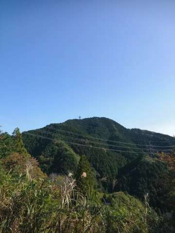
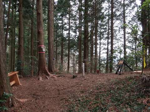
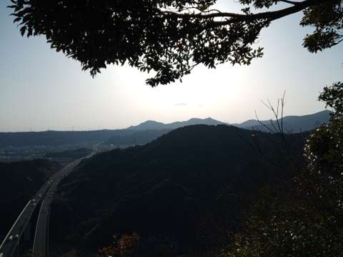
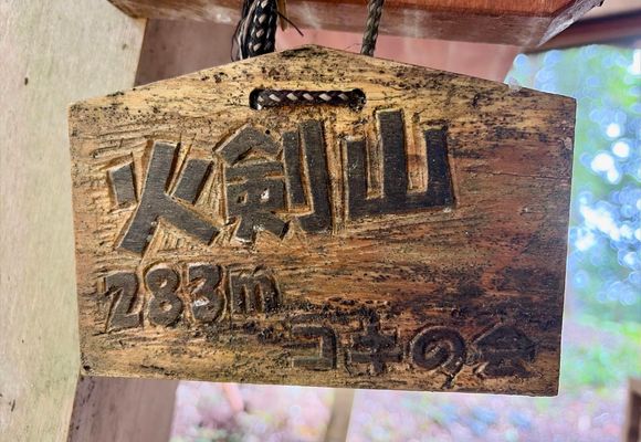
火剣山(ひつるぎさん)は、静岡県菊川市と島田市との境にある標高282.6mの山である。
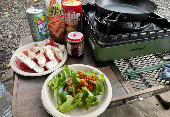
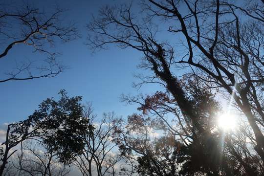
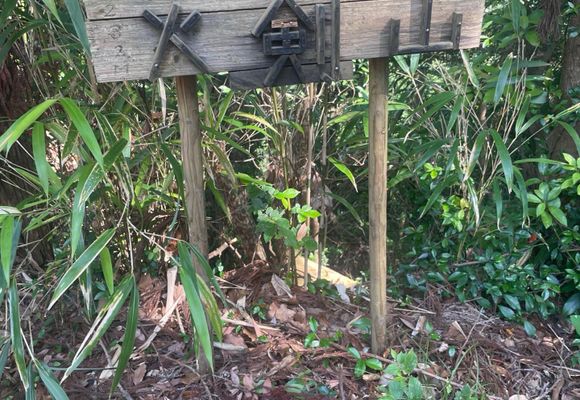
年間登山者分布
※年間の登頂者総数を100とした場合の各月の割合を%で表示
| 1月 | 2月 | 3月 | 4月 | 5月 | 6月 | 7月 | 8月 | 9月 | 10月 | 11月 | 12月 |
|---|---|---|---|---|---|---|---|---|---|---|---|
| 14.49% | 11.22% | 14.02% | 7.01% | 8.42% | 7.48% | 4.21% | 7.01% | 4.68% | 4.21% | 7.95% | 9.35% |
周辺の天気
天気予報
- 10日間日出/日入
この山を含む流域
周辺の山
山歩(さんぽ)しよう。

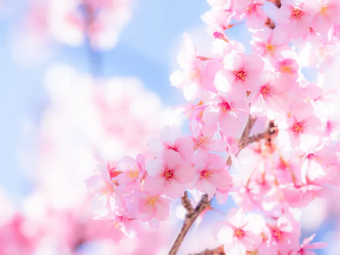
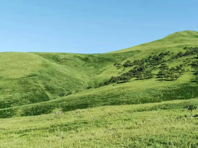
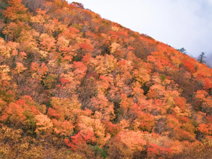
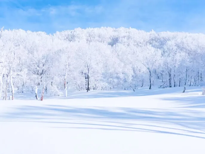
山歩(さんぽ)とは、山や身のまわりの自然の中を気持ちよく歩くこと。今すぐ行ける山歩コースや、山歩した気分になれる映像コンテンツを更新中です。


