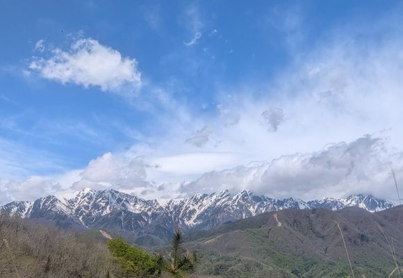
もらった絵文字11写真14枚04:3912.7 km807 m権現山・太郎山大峰高原・鷹狩山(長野)2026.05.04 (月)日帰りエニグマ宿泊先から青木湖周回と里山歩き。 爺ヶ岳、鹿島槍、青木湖を背に簗場のゲレンデを登ります。 下りはなかなかの斜度があり、滑るので気をつけて歩きました。 太郎山は道が不明瞭なのでこまめにヤマップで確認。 下山後はわざわざ瘡の湯まで足を延ばしました。 くさの湯とは読めませんでした。
もらった絵文字62写真15枚04:3312.6 km776 m権現山・太郎山小熊山(長野)2026.05.04 (月)日帰りShiranami連休3日目は山荘から歩いて青木湖周回のようなコース。途中足を滑らせて、左足首を負傷🤕雪解けの沢でアイシング。ん〜このところ怪我が続いているような、気を抜かず安全第一で歩こう。
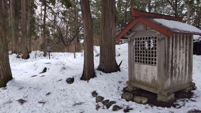
もらった絵文字54写真12枚00:431.9 km205 m太郎山(長野大町Ver)鹿島槍ヶ岳・五竜岳(五龍岳)・唐松岳(長野,富山)2025.04.29 (火)日帰りともゆきヤナバスキー場の中腹から太郎山まで歩こうかと考えましたが、時間がないので国道から歩くことにしました。 峠道があり、峠からは道はなく急登を登ります。 こんな所にも朱色の看板があり、驚きました。 下山時は方角に注意です。