もらった絵文字148
写真7枚
00:451.9 km83 m

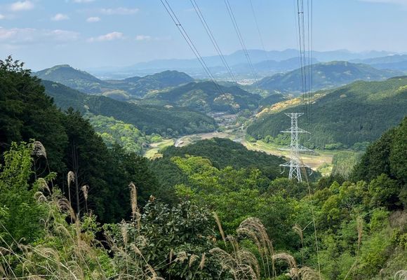
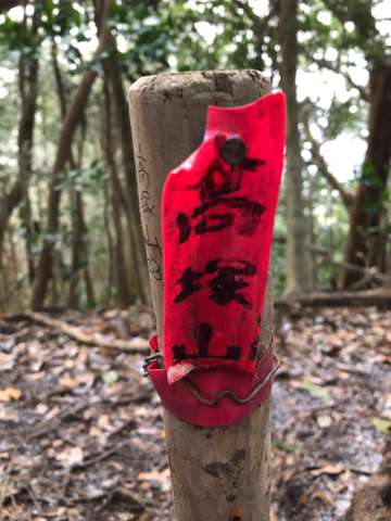
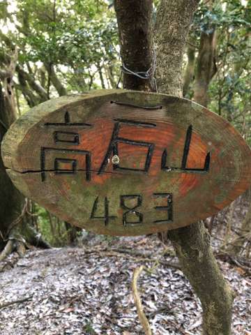
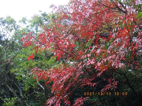
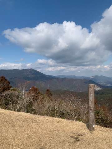
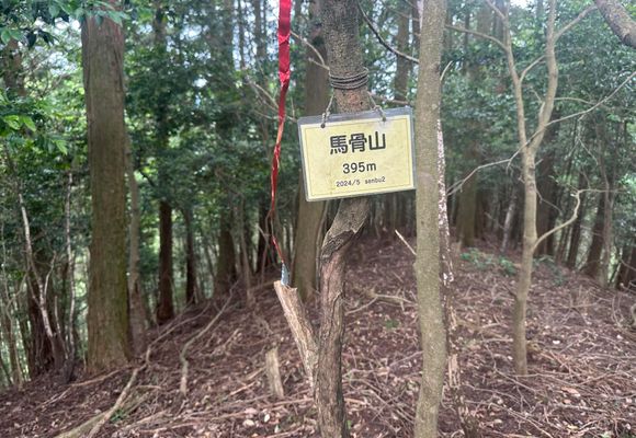
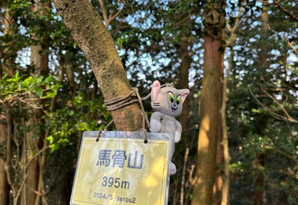
Start/Finish: Chikuzen Uchino Station 🚉 It was a surprisingly beautiful loop on a fine day. I was thinking of a way to climb Umahoneyama from the JR Chikuzen Uchino station, but it’s a long way around to the trailhead. I wanted to try a shortcut. By looking at the topographical maps, I located a ridge that went straight to the 312 peak. From there I knew I could reach Umahoneyama. I checked the satellite imagery on Google maps to see if there was any bamboo groves or bushy areas. The ridge appeared to be all cedar forest, so I decided to take a chance and head for that ridge. It turned out great. The forest was easy enough to climb through, and it wasn’t bushy at all. After the 312 peak I followed イチリsan’s trajectory to Umahoneyama. I continued on some other unnamed peaks in the area. I had noticed on the map that there were power line towers in the area. I figured there would be a maintenance trail between them, but I wasn’t sure if it would reach all the way down to the road. Turns out it did, and the trail was great. There was even an amazing view spot from one of the towers. When I got to the road I went to see the Navel of Fukuoka. It’s a curious little place, and is the central point between north, south, east, and west of the prefecture. 晴天の中、素晴らしい周回ルートを歩けました。筑前内野駅から馬骨山へ行く近道を探していました。地形図で312峰へ続く尾根を見つけ、Googleマップの衛星写真で藪がないか確認しました。実際に行ってみると、杉林で藪もなく、とても歩きやすかったです。312峰の後は、イチリさんの軌跡を参考にして馬骨山へ向かいました。その後、名前のないピークもいくつか歩きました。鉄塔巡視路があると思い探してみると、道がしっかりしていて、鉄塔からの景色も最高でした!最後は無事に道路まで下りることができました。下山後は「福岡のへそ」へ行きました。福岡県の東西南北の重心地点ということで、とても興味深い場所でした。
データを取得中です。取得には時間がかかることがあります。
山歩(さんぽ)とは、山や身のまわりの自然の中を気持ちよく歩くこと。今すぐ行ける山歩コースや、山歩した気分になれる映像コンテンツを更新中です。