活動データ
タイム
05:46
距離
15.7km
のぼり
912m
くだり
910m
活動詳細
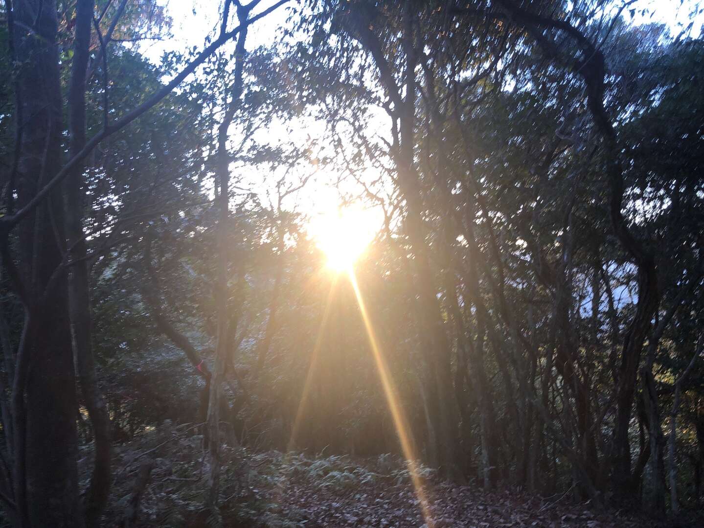
すべて見る誰にも逢わない超マイナー里山縦走でしたが、足の調子が悪くて三峰山まで行けず途中で断念😭 数年前に骨折したところがまた腫れて痛む・・・よく考えるとこれってヒール高い靴履いて歩き回った翌日に発生するような気がする・・・😫 下りでは左足をかばって歩くため何度も転倒。 痛かったw そして市内に帰ってきたら、プライベートスマホがない・・・どこを探してもない・・・😱 諦めて一旦警察に紛失届を提出し、帰宅して夕飯を作り、その後、会社スマホで検索したら、AndroidはGoogleで位置情報検索できるではないか! 調べたら、懐良親王御陵の近辺にある~~~夕食後、高速飛ばして再び八代へ。 会社スマホで電話かけながら探したら、なんと、駐車場に落ちておりました。見つかって良かった・・・ ⚠️八峰山以降はリボンや踏み跡ほぼなし😅 ⚠️林業用のピンクリボンにつられると間違った尾根に導かれる。 😄登山口駐車場までは広く快適な舗装路。 I gave up Mt. Mitsumine this time because my left leg wasn't functioning well😭 It swelled and hurted again ... I think this happens after I wore high heel shoes and walked around for a long time... I fell over many times because I tried not to use my left leg😫 When I came back to Kumamoto city, I noticed I didn't have my private smartphone ... 😱 I submitted a loss report to the police, went home to cook family's dinner, and then noted that google can search android's GPS information! Late night, I drove to Yatsushiro again, and searched it by calling from my company phone. My private smartphone was found in the parking lot. I'm so glad I found it ... ⚠️there are neither trail nor ribbon after the second summit😅 ⚠️if you walk tracing ribbons for forestry, you will step into a wrong ridge. 😄the road to the trail head is wide and comfortable.
もしも不適切なコンテンツをお見かけした場合はお知らせください。