活動データ
タイム
05:30
距離
17.0km
のぼり
1060m
くだり
949m
活動詳細
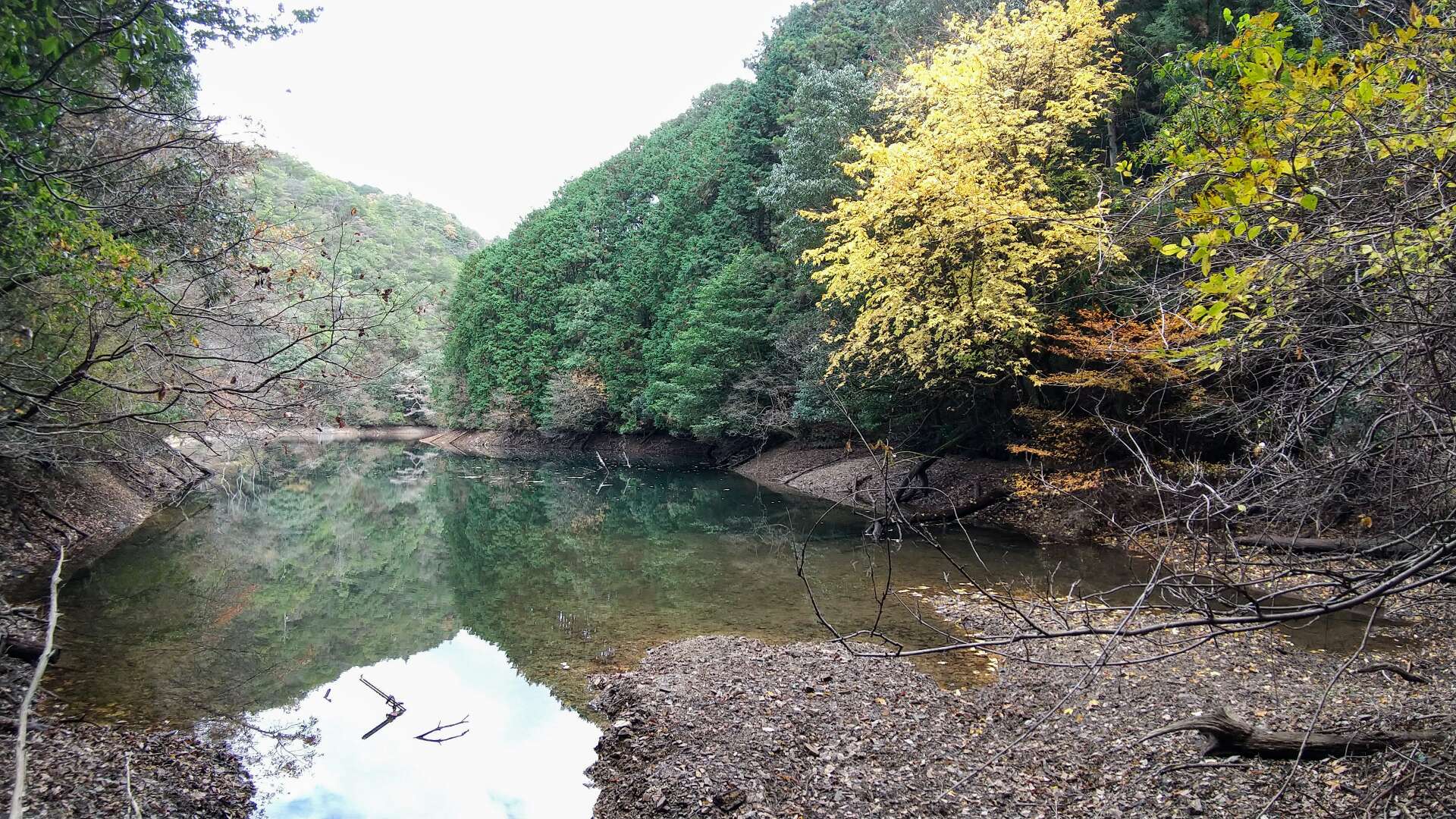
すべて見るThis is my forth excursion into these hills in the past three weeks, three of those hiking and one mountain-biking. My plan was to check-out a track taking me past Takinoike. Care was needed in places as the track and track-markings became difficult to follow. But, after a couple of wrong turns, I made it.
もしも不適切なコンテンツをお見かけした場合はお知らせください。