活動データ
タイム
01:50
距離
4.5km
のぼり
416m
くだり
416m
チェックポイント
活動詳細
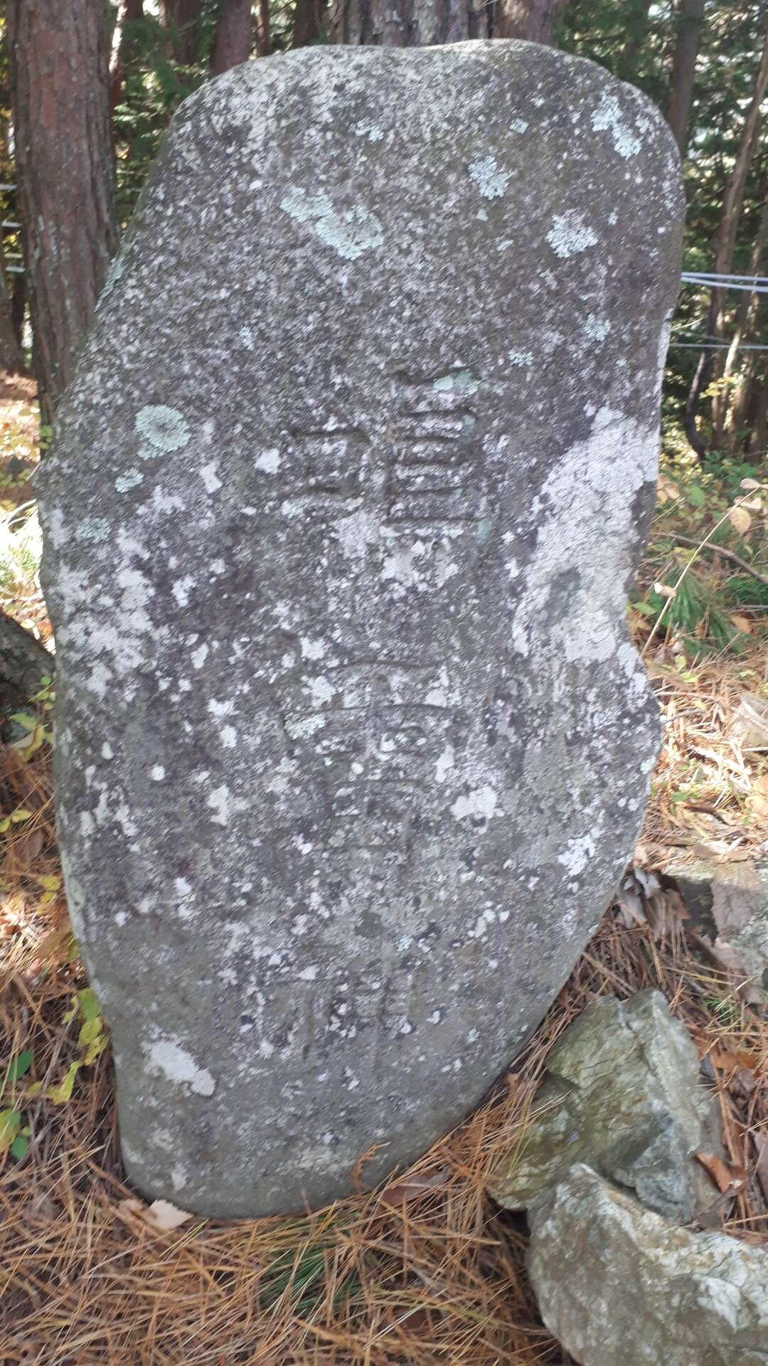
すべて見るJoyama was another free climb.... Joyama (城山) (934.5 meters / 3065.9 feet) is located directly east of Kinshojiyama in western Matsumoto. It is difficult to find any reference for Joyama, since it is translates to "castle mountain" and this is a very popular name for many locations. Coordinates make the best reference to determine where it is....so the approximate location is 36.223877, 137.839958. I started by parking my car next to a game fence, near the Kinshojiyama trailhead and started up the maintenance road. Then, I came across about 12 wild monkeys foraging in the hills along the road. It's hard to catch a shot of them, since they move fast. Going up the road, I came to the point where I thought might be a trail....but I was wrong again. This was another drainage gully that goes to the top of the ridgeline. So up I climbed, making my way up the hill as best as I could. At the top of the ridgeline, I started moving toward the peak. I found the signs of a castle at the top (defensive ditches before the high point and a berm surrounding the high area). I went on and found the topstone for Joyama, which was really a monument stone on the summit. Not much up there, and no good views from the top, or any other point along the way up. After lunch, and a few photos, I started back to the original ridgeline, but then decided to free climb down another route to the nearest road. I found a mountain road, came out of the forest and made my way back to my car. Nice little climb for a sunny day.
もしも不適切なコンテンツをお見かけした場合はお知らせください。